Despite remaining safely offshore, Hurricane Simon delivered a severe meteorological blow to Mexico’s Pacific coast, unleashing powerful winds, torrential rainfall, and widespread coastal flooding. While emergency responders and residents along the shoreline grappled with the immediate terrestrial hazards of the storm, NASA and NOAA satellites recorded an extraordinary and mesmerizing phenomenon high above the troposphere: enormous, rippling waves coursing through Earth’s upper atmosphere.
Hurricane Simon represents the latest chapter in an active and formidable 2026 Eastern Pacific hurricane season, which has repeatedly tested the resilience of coastal communities in the region. On October 11, 2026, the Category 4 storm tracked closely and menacingly parallel to Mexico’s western coastline as it marched on a north-northwest trajectory. At the height of its initial intensity, Simon boasted sustained winds whipping at a ferocious 250 kilometers (155 miles) per hour, placing it among the most potent tropical cyclones of the season.
Hurricane Simon Batters Mexico’s Pacific Coast
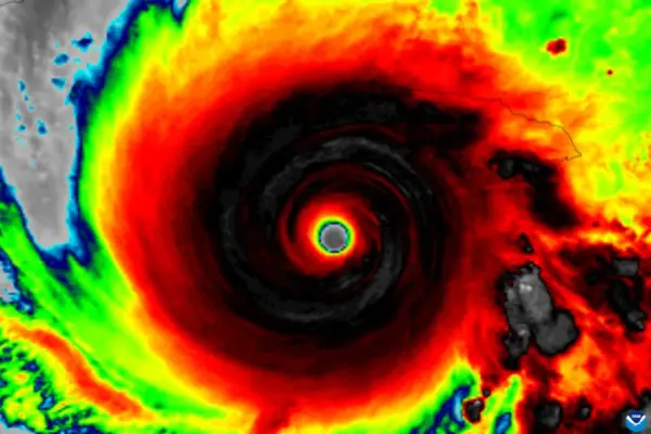
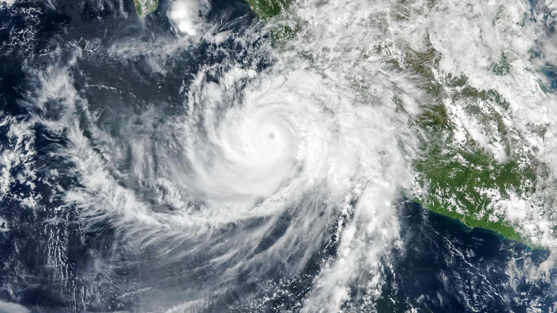
At approximately 2:30 p.m. local time (20:30 Universal Time) on October 11, the Visible Infrared Imaging Radiometer Suite (VIIRS) instrument, flying aboard the joint NASA/NOAA Suomi National Polar-orbiting Partnership (Suomi NPP) satellite, trained its lenses on the swirling vortex. The resulting high-resolution imagery captured the immense scale of the system, with the eye of the hurricane positioned roughly 50 kilometers (30 miles) offshore, neatly lodged between the bustling coastal economic hubs of Manzanillo and Puerto Vallarta.
According to updates provided by the National Hurricane Center (NHC), the storm had experienced a slight reduction in its peak velocity by the time the satellite image was acquired. Sustained winds had eased marginally to approximately 210 kilometers (130 miles) per hour. Despite this weakening trend, the hurricane’s inner core remained dangerously compact and sufficiently close to the shoreline to pose a direct and severe threat to coastal populations, infrastructure, and maritime operations.
As the cyclone brushed past the western Mexican landscape, the rugged topography of the Sierra Madre mountain range played a crucial mitigating role. The steep, towering terrain served as a natural barrier, helping to disrupt the storm’s lower-level circulation, restrict its overall strength, and compress the geographic footprint affected by its most destructive gale-force winds.
Even with the moderating influence of the terrain, Simon’s outer bands and intense inner core drove torrential rainfall across numerous coastal communities. The port city of Manzanillo experienced severe flooding as drainage systems were overwhelmed by the relentless downpour. Meteorological authorities and news reports simultaneously raised alarms over the heightened risk of life-threatening mudslides and landslides, as saturated soils in the steep mountain ranges began to destabilize under the heavy water load.
NASA Captures Strange Waves Above the Hurricane
While the visible fury of Hurricane Simon was felt intensely on the ground and across the coastal waters, automated spaceborne sensors detected an entirely different scale of atmospheric disturbance unfolding far above the cloud tops.
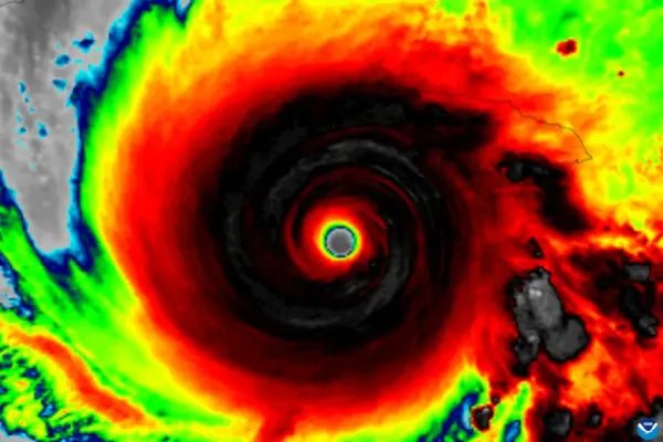
During the pre-dawn hours of October 11, the sheer energetic output of the storm generated massive atmospheric disturbances that propagated vertically, punching through the troposphere and radiating deep into Earth’s upper atmosphere. A striking nighttime satellite image, captured by the VIIRS instrument operating aboard the NOAA-21 satellite, documented these atmospheric gravity waves spreading outward in concentric ripples directly above the churning hurricane.
These complex wave structures are born from the profound thermodynamic and mechanical processes occurring deep within the tropical cyclone. In the immediate vicinity of the hurricane’s eyewall, the massive release of latent heat acts as a primary engine, fueling deep and vigorous convection. This process forces vast quantities of warm, moist air to surge violently upward, constructing towering cumulonimbus cloud structures that act like pistons against the overlying stable layers of the atmosphere.
The immense updrafts and downdrafts pulsing within these towering cloud systems mechanically disturb the surrounding air masses. This forceful displacement generates atmospheric gravity waves that escape the lower atmosphere, traveling upward into the stratosphere and the mesosphere. Unlike ocean waves, which move through a liquid medium driven by gravity and wind friction, atmospheric gravity waves propagate through compressible air, utilizing gravity as the primary restoring force to push displaced air parcels back toward equilibrium.
Why the Rare Atmospheric Ripples Were Visible
Although intense tropical systems frequently generate atmospheric gravity waves, capturing visual evidence of these disturbances from low-Earth orbit remains a rare occurrence. Under typical circumstances, strong, turbulent winds operating at high altitudes can distort, weaken, or completely break apart these subtle waves long before they ascend into the mesosphere. Even if the waves survive the journey upward, they are usually invisible to standard satellite sensors unless they interact with a specialized upper-atmospheric phenomenon known as airglow.
Airglow is a faint, natural luminescence generated by chemical reactions among gases residing high in Earth’s atmosphere, primarily driven by solar radiation interacting with molecules during the day and subsequent recombination processes at night. When atmospheric gravity waves ascend and pass through this glowing atmospheric layer, they compress and rarefy the gas density, creating microscopic, subtle variations in brightness. These density fluctuations reveal distinct, wave-like ripple patterns that can, under ideal circumstances, be resolved by sensitive space-based radiometers.
The day-night band of the VIIRS instrument is engineered specifically to capture this faint optical emission in low-light environments. However, the same high sensitivity that allows the sensor to record airglow also makes it vulnerable to competing light sources, most notably moonlight reflected off Earth’s surface and scattered by the lower atmosphere. This lunar glare can easily wash out the exceptionally weak signals of airglow, rendering the gravity wave patterns indistinguishable from the background noise.
Fortunately, the observational geometry and timing aligned favorably when the satellite passed over Hurricane Simon. The region was experiencing minimal lunar illumination at the time of the overpass, resulting in exceptionally dark skies. This lack of competing moonlight allowed the delicate atmospheric ripples to stand out with striking clarity, offering scientists an unobstructed view of the energetic connection between a violent terrestrial storm and the edge of space.
Hurricane Simon’s Unpredictable Path Raises Concerns
By the morning of October 13, weather forecasters and meteorologists were still grappling with high degrees of uncertainty regarding Simon’s future trajectory and intensity evolution. The system continued to defy standard climatological models, prompting the National Hurricane Center to characterize its confidence in both track and intensity forecasts as "very low confidence." This assessment underscored the erratic behavior of the storm, which had repeatedly deviated from computer-generated expectations over the preceding several days.
At the time, meteorological models suggested several divergent scenarios. One prominent possibility indicated that Simon might execute a northward turn, potentially tracking into the Gulf of California and eventually making a secondary threat of landfall along the northwestern coast of Mexico.
Regardless of the storm’s ultimate path or whether it managed to maintain its structural integrity over cooler northern waters, the vast expanse of the hurricane had already generated tremendous ocean swells. These powerful waves were projected to impact the southwestern and west-central coastlines of Mexico for days, creating hazardous surf, dangerous rip currents, and significant coastal erosion long after the core of the storm had begun its eventual dissipation.