Skip to content
Breaking News
  • GeoHound Tool Launches as Chrome Extension to Instantly Detect, Analyze, and Process Web Map Data
  • From ERP Systems to AI Strategy: Inside Aakansha Bhalotia’s 13-Year Tech Journey at Precisely
  • Elistair Unveils Tethered Air Module for the Parrot ANAFI UKR to Enable Extended ISR Missions
Thursday, October 22, 2026
Edition: U.S. International Login

Hack The Map

Author: Suro Senen

Drone Mapping and Aerial Photography

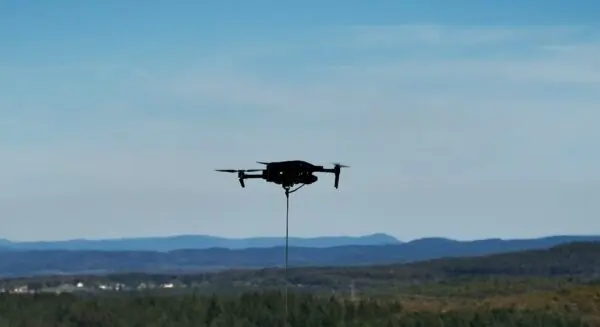
Elistair Unveils Tethered Air Module for the Parrot ANAFI UKR to Enable Extended ISR Missions

October 21, 2026 Suro Senen
Lyon, France — In a significant development for tactical aerial operations, Elistair has officially unveiled a dedicated tethered air module…

Geolocation and Cybersecurity

Critical PHP Vulnerabilities Trigger Global Emergency Patches as Active Exploitation Begins

October 21, 2026 Suro Senen
Web administrators worldwide are rushing to deploy emergency updates today following the disclosure of a pair of critical vulnerabilities affecting…
Transportation and Mobility Tech

Comprehensive Market Analysis Identifies Top-Rated Wheelchairs for Enhanced Mobility and Independence

October 21, 2026 Suro Senen
Wheelchairs remain one of the most vital and widely utilized forms of medical equipment globally, serving as a cornerstone for…
Environmental and Climate Mapping

More than Half of World’s Nations Meet UN Deadline for Nature Pledges Ahead of COP17 Summit

October 19, 2026 Suro Senen
Nearly three years after the historic adoption of a global framework designed to rescue the planet’s collapsing ecosystems, 58% of…
Geography and Earth Science

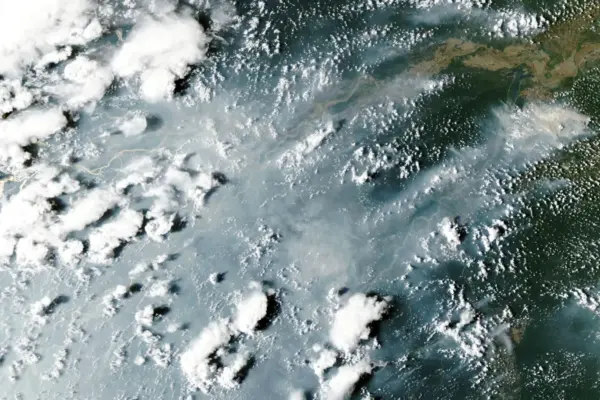
Amazon Rainforest Facing Severe Crisis as El Niño Triggers Cascading Tropical Wildfires

October 18, 2026 Suro Senen
A dangerous wave of wildfires is spreading rapidly across the tropics, plunging the Amazon rainforest into a growing ecological and…
Travel Hacking and Digital Nomad

Holafly Launches Ongoing Global eSIM Subscription Plan for International Travelers and Digital Nomads

October 17, 2026 Suro Senen
Travel technology company Holafly has rolled out a new product category designed to streamline mobile connectivity for long-term travelers, remote…
Data Visualization and Infographics

An Evidence-Based Assessment of Abacus AI: Capabilities, User Experiences, and Ecosystem Overview

October 16, 2026 Suro Senen
The artificial intelligence landscape has expanded rapidly from simple conversational chatbots into complex, multi-functional technical workspaces designed to handle diverse…
Environmental and Climate Mapping

UN Report Warns World is Falling Short on 22 of 23 Nature Targets Ahead of Armenia COP17 Summit

October 15, 2026 Suro Senen
Countries from around the globe will gather in Armenia this month to carry out the first comprehensive global review of…
Travel Hacking and Digital Nomad

Holafly Launches Ongoing Global eSIM Subscription Plan for International Travelers and Digital Nomads

October 15, 2026 Suro Senen
Travel technology company Holafly has rolled out a new global service called Holafly Plans, marking a significant shift from its…
Location Intelligence and Spatial Analytics

Precisely Launches Enterprise Model Context Protocol Server Support to Bridge the Gap Between AI Ambition and Data Reality

October 14, 2026 Suro Senen
Over the past year, enterprise technology leaders have encountered a persistent and frustrating bottleneck. Organizations have invested heavily in artificial…

Posts navigation

Older posts

Recent Posts

  • GeoHound Tool Launches as Chrome Extension to Instantly Detect, Analyze, and Process Web Map Data
  • From ERP Systems to AI Strategy: Inside Aakansha Bhalotia’s 13-Year Tech Journey at Precisely
  • Elistair Unveils Tethered Air Module for the Parrot ANAFI UKR to Enable Extended ISR Missions
  • A 178-Year-Old Train Delay Solves a Major Mystery in the History of Space Weather and Solar Storms
  • Urban Parking Costs and Curb Management Drive Traffic and Transportation Planning Challenges, New Report Shows

Recent Comments

No comments to show.

Archives

  • October 2026
  • September 2026
  • August 2026

Categories

  • Data Visualization and Infographics
  • Disaster Response and Humanitarian Mapping
  • Drone Mapping and Aerial Photography
  • Environmental and Climate Mapping
  • Geography and Earth Science
  • Geolocation and Cybersecurity
  • Geopolitics and Map News
  • GIS and Spatial Technology
  • Location Intelligence and Spatial Analytics
  • Open Data and Civic Tech
  • Open Source Geospatial Software
  • OpenStreetMap and Community Mapping
  • Remote Sensing and Satellite Imagery
  • Transportation and Mobility Tech
  • Travel Hacking and Digital Nomad
  • Urban Planning and Smart Cities
  • Web Mapping and Cartography

© 2026 Hack The Map. All rights reserved.

Theme: The Original by Rifan Muazin.