Skip to content
Breaking News
  • GeoHound Tool Launches as Chrome Extension to Instantly Detect, Analyze, and Process Web Map Data
  • From ERP Systems to AI Strategy: Inside Aakansha Bhalotia’s 13-Year Tech Journey at Precisely
  • Elistair Unveils Tethered Air Module for the Parrot ANAFI UKR to Enable Extended ISR Missions
Thursday, October 22, 2026
Edition: U.S. International Login

Hack The Map

Author: Nana

Geography and Earth Science

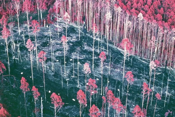
Beyond the Binary: How a Long-Forgotten Victorian Forest Experiment Challenges Decades of Conservation Debates

October 4, 2026 Nana
For decades, the public discourse surrounding forest management in Australia has been mired in a rigid, deeply polarized debate. For…
Geopolitics and Map News

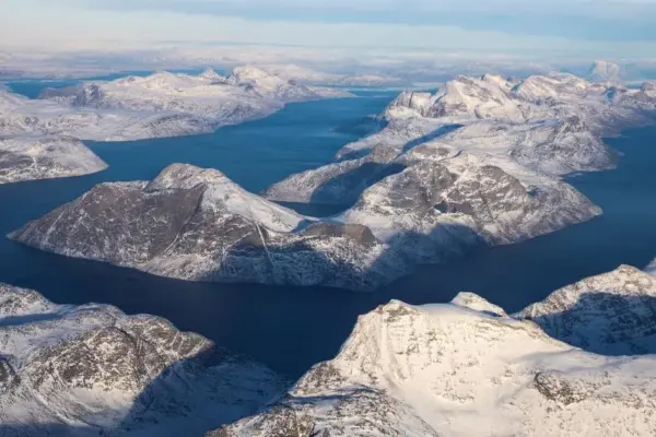
Washington Must Embrace Arctic Interdependence to Counter Rivals, Experts Warn

October 3, 2026 Nana
In 2016, a sudden crack in the ice opened directly beneath the site of the U.S. Navy’s flagship Arctic exercise,…
Environmental and Climate Mapping

Antarctic Winter Sea Ice Hits Third-Smallest Extent on Record as Arctic Closes Out Summer Minimum

October 2, 2026 Nana
Antarctic sea ice has recorded its third-smallest winter peak extent since satellite observations began 48 years ago, newly released data…
Data Visualization and Infographics

Streamlining Complex Data Collection: How BrowserAct Combines AI Flexibility With Reusable Web Scraping Bots

October 2, 2026 Nana
In the fast-paced landscape of modern business intelligence, gathering accurate, up-to-date data from the web remains a persistent operational challenge.…
GIS and Spatial Technology

Evolution of the Excavation: How Modern Mining Tools Balance Efficiency and Worker Safety

October 1, 2026 Nana
Mining remains one of the world’s oldest, most foundational, and most hazardous industries. Since the dawn of civilization, the extraction…
OpenStreetMap and Community Mapping

How OpenStreetMap Navigates the Complex Politics and Cartography of Global Place Names

October 1, 2026 Nana
From the exclamation marks of Saint-Louis-du-Ha! Ha! in Quebec to the ubiquity of Springfields across the United States, the tiny…
Location Intelligence and Spatial Analytics

The Real Enterprise AI Barrier: Why Fragmented Data, Not Models, Is Stalling Scale

October 1, 2026 Nana
Almost every product and technology leader across the modern corporate landscape shares a remarkably similar version of the same frustration…
Data Visualization and Infographics

Mastering Data Storytelling: How to Leverage AI for Effective Graph and Slide Design

October 1, 2026 Nana
As professionals increasingly turn to artificial intelligence to streamline their workflows, a new frontier is emerging in data visualization and…
Geography and Earth Science

What Happens If Yellowstone Erupts? A Scientific Thought Experiment on a Global Catastrophe

September 30, 2026 Nana
Around 631,000 years ago—a mere geological blink of an eye—a profound catastrophe unfolded in what is now north-western Wyoming. During…
Geopolitics and Map News

The Unraveling of the Global Maritime Order: Why the World’s Oceans Are Becoming the Next Geopolitical Flashpoint

September 30, 2026 Nana
Over the last half millennium, societies around the globe competed fiercely to divide up the world’s landmasses. Through centuries of…

Posts navigation

Older posts
Newer posts

Recent Posts

  • GeoHound Tool Launches as Chrome Extension to Instantly Detect, Analyze, and Process Web Map Data
  • From ERP Systems to AI Strategy: Inside Aakansha Bhalotia’s 13-Year Tech Journey at Precisely
  • Elistair Unveils Tethered Air Module for the Parrot ANAFI UKR to Enable Extended ISR Missions
  • A 178-Year-Old Train Delay Solves a Major Mystery in the History of Space Weather and Solar Storms
  • Urban Parking Costs and Curb Management Drive Traffic and Transportation Planning Challenges, New Report Shows

Recent Comments

No comments to show.

Archives

  • October 2026
  • September 2026
  • August 2026

Categories

  • Data Visualization and Infographics
  • Disaster Response and Humanitarian Mapping
  • Drone Mapping and Aerial Photography
  • Environmental and Climate Mapping
  • Geography and Earth Science
  • Geolocation and Cybersecurity
  • Geopolitics and Map News
  • GIS and Spatial Technology
  • Location Intelligence and Spatial Analytics
  • Open Data and Civic Tech
  • Open Source Geospatial Software
  • OpenStreetMap and Community Mapping
  • Remote Sensing and Satellite Imagery
  • Transportation and Mobility Tech
  • Travel Hacking and Digital Nomad
  • Urban Planning and Smart Cities
  • Web Mapping and Cartography

© 2026 Hack The Map. All rights reserved.

Theme: The Original by Rifan Muazin.