Skip to content
Breaking News
  • GeoHound Tool Launches as Chrome Extension to Instantly Detect, Analyze, and Process Web Map Data
  • From ERP Systems to AI Strategy: Inside Aakansha Bhalotia’s 13-Year Tech Journey at Precisely
  • Elistair Unveils Tethered Air Module for the Parrot ANAFI UKR to Enable Extended ISR Missions
Thursday, October 22, 2026
Edition: U.S. International Login

Hack The Map

Author: Azzam Bilal Chamdy

Drone Mapping and Aerial Photography

Michigan Medical Drone Delivery Pilot Expands to Multiple Aircraft and Sites for Phase Two

October 6, 2026 Azzam Bilal Chamdy
Northern Michigan is set to become a primary testing ground for advanced medical logistics as a pioneering medical drone delivery…
Open Data and Civic Tech

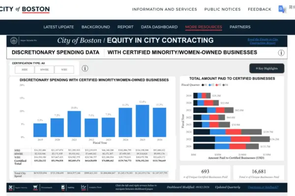
How Boston Transformed Public Procurement to Unlock Millions for Minority- and Women-Owned Businesses

October 6, 2026 Azzam Bilal Chamdy
Public contracting has long been recognized as a powerful engine for local economic growth and community inclusion. Yet, for many…
Travel Hacking and Digital Nomad

Understanding Financial Product Reviews, Partner Compensation, and Editorial Independence in Modern Media

October 6, 2026 Azzam Bilal Chamdy
In the modern digital publishing landscape, readers navigating the complex world of personal finance, travel rewards, and consumer banking often…
Geolocation and Cybersecurity

Court-Ordered Seizure of Radaris.com Marks Major Turning Point in Data Broker Accountability

October 6, 2026 Azzam Bilal Chamdy
The consumer data broker Radaris.com has long operated with a reputation for ignoring requests to remove personal information from its…
Geolocation and Cybersecurity

U.S. Army Soldier Sentenced to Nearly Six Years in Prison Over Massive AT&T and Snowflake Extortion Scheme

October 5, 2026 Azzam Bilal Chamdy
A United States Army soldier who pleaded guilty to hacking into multiple telecommunications companies and stealing mobile call and text…
Data Visualization and Infographics

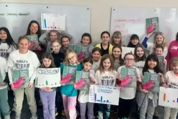
Empowering the Next Generation: Daphne Draws Data Reaches 15,000 Students Across the Globe

October 1, 2026 Azzam Bilal Chamdy
In under two years, an innovative educational initiative has successfully helped more than fifteen thousand elementary school students across nineteen…
Open Source Geospatial Software

GeoServer Releases Version 2.28.3 Bringing Essential Maintenance Updates and Bug Fixes to the Open Source Mapping Community

September 30, 2026 Azzam Bilal Chamdy
The GeoServer development team has officially announced the immediate availability of GeoServer 2.28.3, the latest maintenance release in the ongoing…
Data Visualization and Infographics

Can Design Be Taught? The Myth of the "Natural Eye" in Data Storytelling

September 30, 2026 Azzam Bilal Chamdy
"I don’t have a design eye." Kaitlin utters this phrase with a casual, matter-of-fact certainty, as if referring to an…
Data Visualization and Infographics

Moving Beyond Chronology: How Data Analysts Can Harness AI to Build Compelling Narrative Arcs

September 30, 2026 Azzam Bilal Chamdy
Transitioning from a linear, chronological presentation of data to a compelling narrative arc is rarely an intuitive leap for most…
Geography and Earth Science

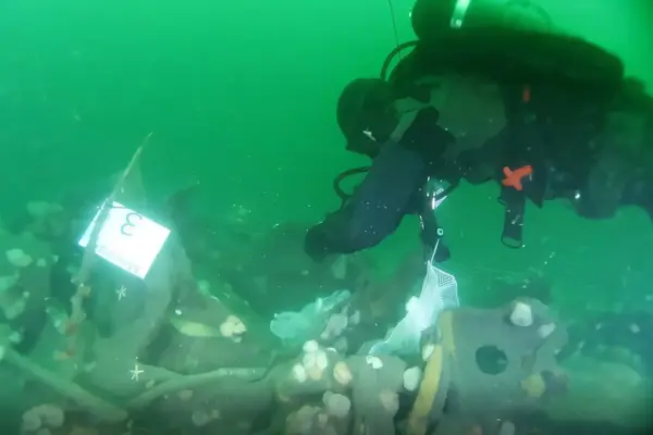
Century-Old World War I Submarine Wreck Found Leaking TNT into the North Sea, Researchers Warn

September 29, 2026 Azzam Bilal Chamdy
In April 1917, the German submarine UC-30 was making its way through the turbulent waters near Rømø after abandoning a…

Posts navigation

Older posts
Newer posts

Recent Posts

  • GeoHound Tool Launches as Chrome Extension to Instantly Detect, Analyze, and Process Web Map Data
  • From ERP Systems to AI Strategy: Inside Aakansha Bhalotia’s 13-Year Tech Journey at Precisely
  • Elistair Unveils Tethered Air Module for the Parrot ANAFI UKR to Enable Extended ISR Missions
  • A 178-Year-Old Train Delay Solves a Major Mystery in the History of Space Weather and Solar Storms
  • Urban Parking Costs and Curb Management Drive Traffic and Transportation Planning Challenges, New Report Shows

Recent Comments

No comments to show.

Archives

  • October 2026
  • September 2026
  • August 2026

Categories

  • Data Visualization and Infographics
  • Disaster Response and Humanitarian Mapping
  • Drone Mapping and Aerial Photography
  • Environmental and Climate Mapping
  • Geography and Earth Science
  • Geolocation and Cybersecurity
  • Geopolitics and Map News
  • GIS and Spatial Technology
  • Location Intelligence and Spatial Analytics
  • Open Data and Civic Tech
  • Open Source Geospatial Software
  • OpenStreetMap and Community Mapping
  • Remote Sensing and Satellite Imagery
  • Transportation and Mobility Tech
  • Travel Hacking and Digital Nomad
  • Urban Planning and Smart Cities
  • Web Mapping and Cartography

© 2026 Hack The Map. All rights reserved.

Theme: The Original by Rifan Muazin.