The GeoServer project development team has officially announced the immediate availability of GeoServer 3.0.2, marking a significant milestone for the open-source geospatial software ecosystem. Designated as a stable release, version 3.0.2 is strongly recommended by core maintainers for all production environments. The latest software package is now fully accessible for download across multiple formats, including binary archives, web archive (WAR) distributions, and a dedicated Windows installer. Alongside the core application, comprehensive user documentation and an extensive suite of plugin extensions have been updated and released simultaneously.
Underpinning this new version are several critical upstream component upgrades that enhance overall performance, stability, and compatibility. GeoServer 3.0.2 incorporates the newly minted GeoTools 35.2 library and GeoWebCache 2.0.2, providing robust tile caching capabilities. Furthermore, the release integrates mapfish-print-v2 version 2.5.2 for advanced cartographic printing services, alongside ImageN 0.9.3 for high-performance raster data processing. In a notable first for the project, an updated release of GeoServer Cloud, version 3.0.2, has been made available precisely on release day, ensuring that containerized and microservices-based deployments receive immediate access to the latest improvements.
The successful coordination and execution of this release relied on contributions from key community figures. Jody Garnett of GeoCat managed the overarching release process, while Andrea Aime of GeoSolutions spearheaded testing and quality assurance. Additionally, Gabriel Roldan of Camptocamp oversaw the synchronized release of GeoServer Cloud, highlighting the collaborative nature of the global geospatial community that sustains the project.
Security Considerations

Maintaining the integrity and security of enterprise geospatial infrastructure remains a paramount priority for the GeoServer community. This newly deployed version directly addresses underlying security vulnerabilities, making it an essential upgrade for any organization operating production-grade mapping services. While the software is available for immediate deployment, detailed technical disclosures and vulnerability fix specifics will be publicly released at the beginning of November.

Organizations managing sensitive spatial data or public-facing mapping endpoints are encouraged to review the project’s formal security policy hosted on GitHub to understand how vulnerabilities are systematically managed, evaluated, and resolved by the core development team. Timely adoption of version 3.0.2 ensures that server environments are shielded from known exploit vectors while maintaining seamless operational continuity.

OGC API Maps 1.0

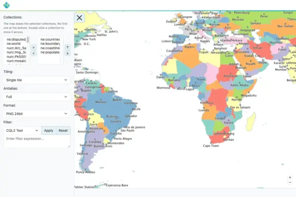
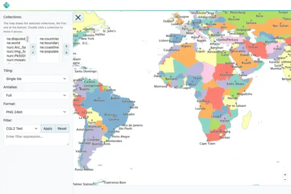
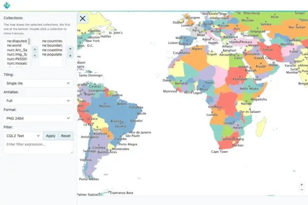
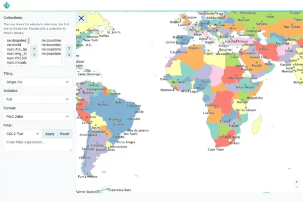
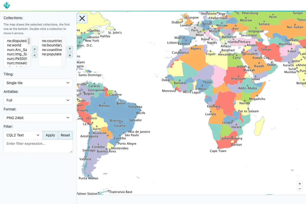
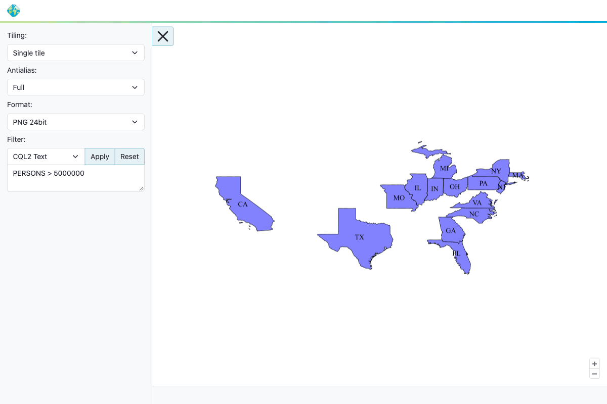
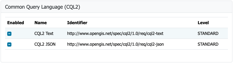
Interoperability standards continue to evolve within the geospatial industry, and GeoServer 3.0.2 reflects this progression through significant enhancements to its standards-based web services. Specifically, the OGC API Maps community module has been thoroughly updated and aligned with the finalized Open Geospatial Consortium OGC API – Maps 1.0.0 standard. This alignment enables developers and agencies to serve map rendering requests in strict accordance with modern, lightweight web API specifications.

Detailed documentation concerning the configuration and capabilities of the updated module has been integrated into the official GeoServer user manual. The successful alignment of the community module with the official standard was driven by Andrea Aime of GeoSolutions, who led the core development efforts. Additional contributions, including backporting efforts for the 3.0.x branch and editorial improvements to the conformance table editor, were provided by Jody Garnett of GeoCat, further solidifying the software’s compliance with international geospatial specifications.

GeoFence for GeoServer 3

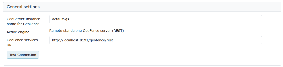
Enterprise security and data governance within GeoServer take a major step forward with the arrival of the GeoFence extensions for GeoServer 3. This release successfully fulfills Milestone 4 regarding integration within the broader GeoServer 3 crowdfunding campaign, bringing granular authorization and access control to the latest major software iteration.

To meet modern architectural demands, GeoFence has undergone extensive modernization, migrating fully to Jakarta EE, Spring Framework 7, and Hibernate 7. These foundational upgrades ensure long-term maintainability, improved performance, and better alignment with contemporary enterprise Java standards. However, because of these architectural shifts, existing users transitioning from older installations must carefully consult the official migration guide prior to executing the upgrade. Notable changes include the renaming of the datasource configuration file and the complete removal of the legacy GeoFence authentication provider.

The implementation of GeoFence for GeoServer 3 was led by Emanuele Tajariol of GeoSolutions. The development and integration of these critical enterprise features were made possible entirely through the financial contributions and backing of the GeoServer 3 crowdfunding sponsors.

The ongoing development, testing, and maintenance of GeoServer 3 are backed by an extensive coalition of organizational sponsors and individual contributors from around the world. Institutional supporters span diverse sectors, including governmental agencies, research institutions, and commercial geospatial enterprises. Key organizational backers include AfriGIS, Camptocamp, the German Aerospace Center DLR, Dorset Council, Deutsche Telekom, Frachtwerk GmbH, GeoCat BV, Geocrafter Geospatial Studio, Comune di Genova, g.on, GeoSolutions SRL, geosos, Geospatial Enabling Technologies, Incloud Limited, HL Consulting, Institut national de l’information géographique et forestière, ITS Digital, JDev, Kreditanstalt für Wiederaufbau, Mammoth Geospatial, the National Ocean Service, Plangis, the Office of Public Works, Open Geo Groep, OSGeo:Korea, OSGeo:UK, Quarticle Research Srl, Sea Island Software, Tailormap, terrestris, Ubigu, Value AG, Region Västra Götaland, and WaldExpert. Additionally, the project receives invaluable financial support from individual donors, ensuring the sustained viability of open-source GIS technology.

FIPS

Addressing the stringent regulatory requirements of government agencies and defense contractors, GeoServer 3.0.2 introduces a brand-new FIPS community module. The Federal Information Processing Standards publication FIPS 140-3 represents a United States government standard governing cryptographic modules. Many federal agencies, along with their commercial suppliers and contractors, are legally and contractually restricted to running software that exclusively employs FIPS-validated cryptographic libraries.

The newly introduced community module provides the framework necessary to operate within these secure environments. Administrators must note that the module currently operates exclusively on Linux-based operating systems and requires a freshly initialized data directory, as an automated migration tool for pre-existing configurations is not yet available.

Release Notes and Community Modules

The 3.0.2 release encompasses numerous bug fixes, performance improvements, and task completions across the entire software stack. Developers and system administrators seeking exhaustive technical logs can review the comprehensive release notes available directly on the project’s GitHub repository.

Alongside the core release, active development on community modules continues to serve as an incubator for experimental features and collaborative innovation. These modules are shared openly in source-code format to foster community participation. Users interested in exploring or contributing to ongoing experimental topics are encouraged to connect directly with respective module developers. Additional details regarding the broader GeoServer 3.0 series, along with historical release notes for versions 3.0.0 and 3.0.1, remain accessible through the official project documentation channels.