The GeoServer project team has officially announced the immediate availability of GeoServer 3.0.2, a significant stable release tailored and recommended for high-demand production environments. Alongside the core software update, the release package brings a robust suite of refreshed components, including GeoTools 35.2, GeoWebCache 2.0.2, mapfish-print-v2 2.5.2, and ImageN 0.9.3. In a notable milestone for the open-source geospatial community, this release also marks the first time an updated GeoServer Cloud edition has been made available precisely on release day, ensuring that cloud-native deployments can benefit from the latest improvements without delay.
The successful coordination and execution of the 3.0.2 release cycle involved key contributions from prominent geospatial organizations and developers. The core release was spearheaded by Jody Garnett of GeoCat, with rigorous testing and validation conducted by Andrea Aime of GeoSolutions. Furthermore, the simultaneous deployment of GeoServer 3.0.2 Cloud was successfully delivered by Gabriel Roldan of Camptocamp, reflecting the strong collaborative spirit driving the platform forward.
Security Considerations
As an essential maintenance and production upgrade, GeoServer 3.0.2 addresses critical security vulnerabilities to safeguard enterprise mapping infrastructure. While the software is immediately ready for deployment, detailed technical disclosures regarding the specific security fixes and patches included in this version will be published at the beginning of November. Organizations managing mission-critical geographic information systems are encouraged to plan their upgrade cycles accordingly. The GeoServer development team maintains a rigorous vulnerability management lifecycle, and comprehensive guidelines on how security issues are handled, reported, and remediated can be reviewed directly through the project’s official security policy repository on GitHub.
OGC API Maps 1.0 Integration
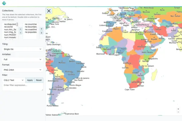
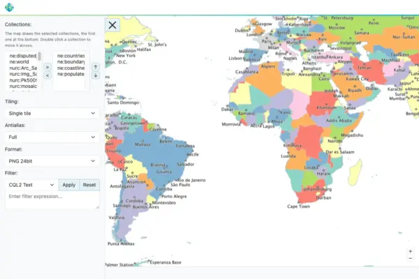
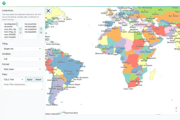
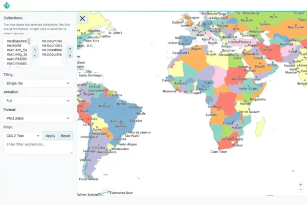
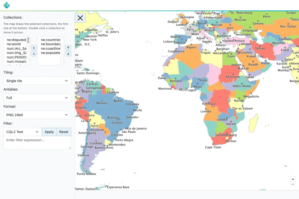
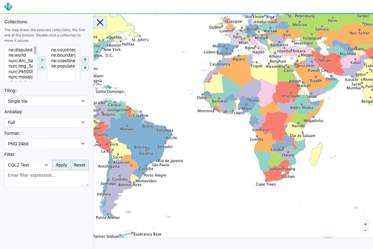
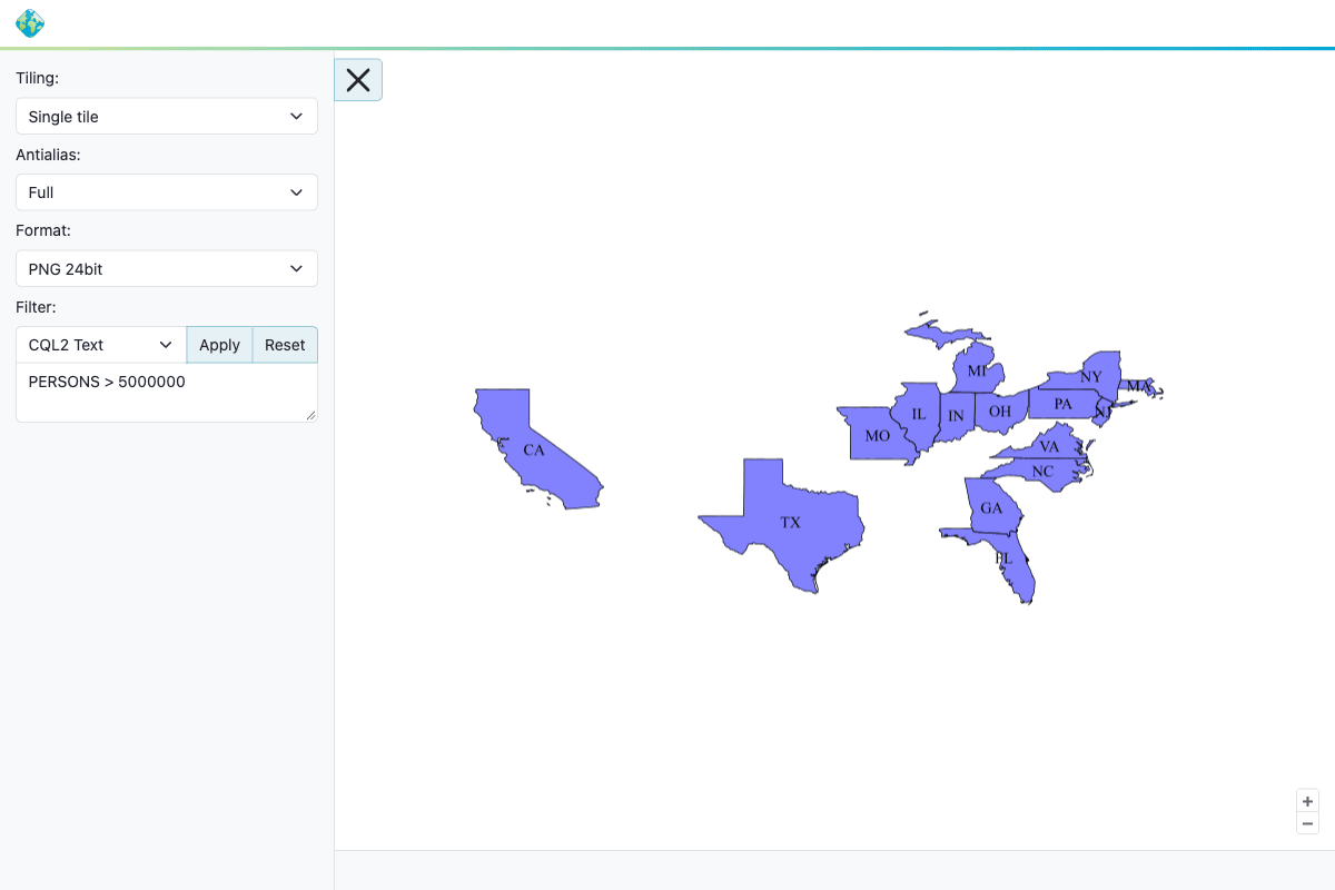
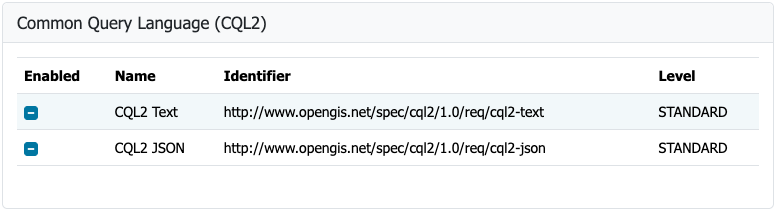
Interoperability remains a cornerstone of the GeoServer platform, and version 3.0.2 delivers a major update regarding spatial data standards. The OGC API Maps community module has been thoroughly updated and aligned with the final, official OGC API – Maps 1.0.0 standard. This alignment ensures that developers and spatial data infrastructure architects can leverage modern, lightweight web APIs for rendering map representations that strictly adhere to international open standards.
Comprehensive documentation to help users adopt and configure the updated module is now accessible within the official GeoServer user manual. The successful integration and alignment of the OGC API Maps module was driven by Andrea Aime of GeoSolutions, with additional 3.0.x backporting efforts and enhancements to the conformance table editor provided by Jody Garnett of GeoCat.

GeoFence for GeoServer 3
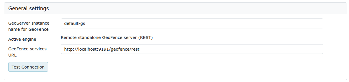
The release of GeoServer 3.0.2 also brings fully integrated GeoFence extensions to the GeoServer 3 ecosystem. This major integration achievement successfully completes Milestone 4 of the ambitious GeoServer 3 crowdfunding campaign, reflecting direct support from the project’s diverse sponsor network.

To ensure optimal performance, security, and compatibility with modern Java enterprise architectures, GeoFence has been comprehensively updated to run on Jakarta EE, Spring Framework 7, and Hibernate 7. Administrators and system integrators who are currently utilizing existing GeoFence deployments must carefully review the official migration guide prior to executing the upgrade. Significant architectural changes have been introduced in this iteration, most notably the renaming of the datasource configuration file and the complete removal of the legacy GeoFence authentication provider.

This complex modernization effort was led by Emanuele Tajariol of GeoSolutions, whose development work was made possible entirely through the financial backing and sustained commitment of the GeoServer 3 crowdfunding sponsors.

Enterprise Support and Crowdfunding Ecosystem
The continued evolution, maintenance, and long-term viability of the GeoServer project rely heavily on a robust coalition of corporate sponsors, institutional partners, and individual contributors. GeoServer 3 receives critical financial and operational support from a diverse array of global organizations spanning government agencies, research institutions, and commercial geospatial enterprises.

Corporate supporters backing the initiative include AfriGIS, Camptocamp, DLR, Dorset Council, Deutsche Telekom, Frachtwerk GmbH, GeoCat BV, Geocrafter Geospatial Studio, Comune di Genova, g.on, GeoSolutions SRL, geosos, Geospatial Enabling Technologies (GET), Incloud Limited, HL Consulting, Institut national de l’information géographique et forestière (IGN), ITS Digital, JDev, Kreditanstalt für Wiederaufbau, Mammoth Geospatial, National Ocean Service (NOA), Plangis, Office of Public Works, Open Geo Groep, OSGeo:Korea, OSGeo:UK, Quarticle Research Srl, Sea Island Software, Tailormap, terrestris, Ubigu, Value AG, Region Västra Götaland, and WaldExpert.

Additionally, the project acknowledges the invaluable contributions of individual donors who provide ongoing support to the community, including Abhijit Gujar, Hennessy Becerra, Ivana Ivanova, John Bryant, Jason Horning, Jose Macchi, Peter Smythe, Sajjadul Islam, Sebastiano Meier, and Stefan Overkamp.

FIPS Compliance Module
To meet the stringent regulatory requirements demanded by government bodies and defense organizations, GeoServer 3.0.2 introduces a new FIPS community module. The Federal Information Processing Standard (FIPS) 140-3 is a United States government standard that regulates the design and implementation of cryptographic modules. Many federal agencies, defense contractors, and associated suppliers are legally or operationally mandated to run software stacks that utilize validated cryptographic modules.

The newly introduced FIPS module provides a pathway for deploying GeoServer within these highly regulated environments. However, administrators must note specific operational parameters before implementation. The module currently operates exclusively on Linux environments and requires a newly initialized data directory, as an automated migration tool for existing data directories is not yet available.

Release Notes and Community Development
The 3.0.2 release incorporates a wide array of bug fixes, performance improvements, and targeted tasks across the core engine and its extensions. Developers and system administrators interested in reviewing the granular technical changes can access the complete changelog through the official 3.0.2 release notes on GitHub.

Concurrently, development on various community modules continues as an open, collaborative effort. Because community modules are shared directly as source code to foster joint innovation and experimentation, users and developers interested in specific emerging topics are encouraged to reach out directly to individual module developers to offer assistance, feedback, or testing resources.

Downloads for the new binary, web archive (WAR), and Windows setup packages, along with comprehensive documentation and extension modules, are available immediately through the project’s distribution channels.