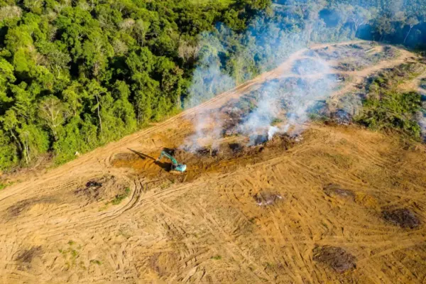
Environmental and Climate Mapping Interactive: Tracking negotiating texts at the COP17 biodiversity summit October 12, 2026 Nana Muazin Beginning on October 19 and running through October 30, representatives from 196 parties to the convention will gather in the…
Geolocation and Cybersecurity FBI Arrests Canadian Cybersecurity Executive in Connection With ShinyHunters Extortion Investigation October 12, 2026 Suro Senen Federal Bureau of Investigation agents have arrested a prominent executive at a Canadian cybersecurity firm in Pennsylvania, marking a significant…
Open Source Geospatial Software GeoServer Issues Urgent Update Advisory Following Summer 2026 Security Challenges and Zero-Day Disclosure October 12, 2026 Ali Ikhwan The GeoServer project has released a comprehensive security recap detailing a tumultuous summer of 2026 that tested the open-source mapping…
Transportation and Mobility Tech Comprehensive Industry Review Highlights Top-Rated Wheelchairs for Mobility and Independence October 12, 2026 Raul Delapena Setiawan Wheelchairs remain one of the most critical and widely utilized forms of medical equipment globally, serving as an indispensable lifeline…
Data Visualization and Infographics How Data Storytelling Workshops Helped a Team Untangle Complex Staffing Shortfalls October 12, 2026 Siti Muinah When reporting an expected staffing shortfall to organizational leadership, bringing the issue to the table is only the first step.…
Data Visualization and Infographics The Rise of AI Software Clones: How REA and ArtCraft Are Going Viral October 12, 2026 Sagoh Something remarkable is happening in the global AI development community, signaling what many industry observers believe is the beginning of…
Location Intelligence and Spatial Analytics The Great AI Data Bottleneck: Insights from Precisely Now on Moving Beyond Proofs of Concept October 12, 2026 Nana The race to integrate artificial intelligence into the enterprise has crossed a critical threshold, but a formidable barrier threatens to…
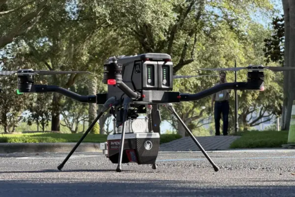
Drone Mapping and Aerial Photography Small Drone Manufacturer Finds Its Market Niche: The Harris Aerial Story October 12, 2026 Laily UPN By DRONELife Features Editor Jim Magill In the fast-paced world of commercial and defense technology, getting in on the ground…
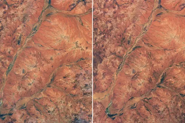
Geography and Earth Science From Arid Outback to Vibrant Bloom: Satellite Images Reveal Western Australia’s Rare Wildflower Super-Spree October 12, 2026 Pevita Pearce A spectacular explosion of wildflowers has transformed the normally dry, rust-colored landscape of Western Australia into a vibrant patchwork of…
Urban Planning and Smart Cities New Transit Bus Offerings Aim to Ease North American Market Pressures October 12, 2026 Asro The North American transit bus sector is bracing for a significant shift as industry players move to tackle persistent supply…