Skip to content
Breaking News
  • Understanding Thematic Mapping: How Spatial Data Visualization Reshapes Modern Geographic Analysis and Decision-Making
  • GeoHound Chrome Extension Launches with Automated Web Map Service Detection and Built-In Spatial Workbench
  • From ERP Systems to AI Strategy: Inside Aakansha Bhalotia’s 13-Year Journey Shaping the Future of Tech
Thursday, October 22, 2026
Edition: U.S. International Login

Hack The Map

Month: October 2026

Open Source Geospatial Software

GeoServer Issues Urgent Security Update After August Zero-Day Disclosure and Outlines New AI Vulnerability Policies

October 16, 2026 Nana Muazin
The open-source geospatial community has faced a demanding period of security maintenance following a series of advisories published over the…

Transportation and Mobility Tech

Comprehensive Industry Review Highlights Top-Rated Wheelchairs for Enhanced Mobility and Independence

October 16, 2026 Muslim
Wheelchairs remain among the most widely utilized medical devices worldwide, serving as an essential lifeline for individuals managing mobility impairments.…
Data Visualization and Infographics

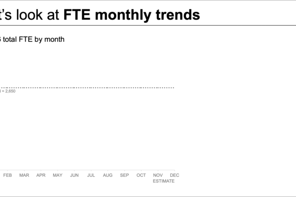
Decoding Workforce Data: How Strategic Data Storytelling Transforms Complex Staffing Shortfall Reports for Leadership

October 16, 2026 Nila Kartika Wati
When an organization faces an expected staffing shortfall, bringing the issue to leadership’s attention is a critical first step. Yet,…
Data Visualization and Infographics

An Evidence-Based Assessment of Abacus AI: Capabilities, User Experiences, and Ecosystem Overview

October 16, 2026 Suro Senen
The artificial intelligence landscape has expanded rapidly from simple conversational chatbots into complex, multi-functional technical workspaces designed to handle diverse…
Web Mapping and Cartography

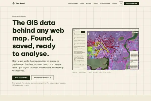
GeoHound Chrome Extension Automates Web Map Service Detection and Browser-Based Spatial Analysis

October 15, 2026 Evan Lee Salim
A new web browser extension named GeoHound aims to simplify how spatial analysts, researchers, and cartographers uncover and manipulate the…
OpenStreetMap and Community Mapping

OpenStreetMap Working Group Launches 2026 Community Microgrants to Support Grassroots Mapping Projects Worldwide

October 15, 2026 Jia Lissa
The OpenStreetMap Local Chapters and Communities Working Group has formally introduced the 2026 Community Microgrants program, an initiative designed to…
Location Intelligence and Spatial Analytics

Enterprise AI’s Biggest Bottleneck Isn’t the Technology—It’s the State of Enterprise Data

October 15, 2026 Pevita Pearce
Every major technology shift over the past three decades has ultimately hinged on getting the technology itself right. From the…
Drone Mapping and Aerial Photography

Automated BVLOS Drone Surveys Take on Major Infrastructure Project in Australia

October 15, 2026 Lina Irawan
Drone-in-the-box technology is rapidly shifting from experimental aviation to foundational engineering infrastructure, supporting construction monitoring and dramatically improving site safety…
Geography and Earth Science

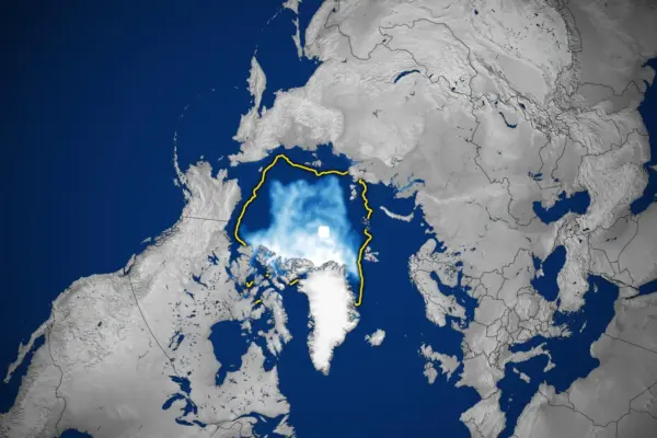
Nearly Five Decades of Satellite Data Reveal a Shrinking, Thriving and Thinning Arctic Ice Cover

October 15, 2026 Ali Ikhwan
Nearly five decades of continuous satellite observations have revealed a troubling and profound transformation unfolding across the Arctic. In this…
Urban Planning and Smart Cities

U.S. Transportation Department Proposes Linking Transit Project Funding to Birth and Marriage Rates, Drawing Sharp Criticism

October 15, 2026 Nana Muazin
WASHINGTON — A controversial new federal policy proposal would tie funding for major public transit projects to local birth and…

Posts navigation

Older posts
Newer posts

Recent Posts

  • Understanding Thematic Mapping: How Spatial Data Visualization Reshapes Modern Geographic Analysis and Decision-Making
  • GeoHound Chrome Extension Launches with Automated Web Map Service Detection and Built-In Spatial Workbench
  • From ERP Systems to AI Strategy: Inside Aakansha Bhalotia’s 13-Year Journey Shaping the Future of Tech
  • Elistair Unveils Tethered Air Module for Parrot ANAFI UKR to Enable Hours of Uninterrupted ISR Missions
  • A Mysterious 180-Year-Old Train Delay Reveals a Major Chronological Error in Space Weather History

Recent Comments

No comments to show.

Archives

  • October 2026
  • September 2026
  • August 2026

Categories

  • Data Visualization and Infographics
  • Disaster Response and Humanitarian Mapping
  • Drone Mapping and Aerial Photography
  • Environmental and Climate Mapping
  • Geography and Earth Science
  • Geolocation and Cybersecurity
  • Geopolitics and Map News
  • GIS and Spatial Technology
  • Location Intelligence and Spatial Analytics
  • Open Data and Civic Tech
  • Open Source Geospatial Software
  • OpenStreetMap and Community Mapping
  • Remote Sensing and Satellite Imagery
  • Transportation and Mobility Tech
  • Travel Hacking and Digital Nomad
  • Urban Planning and Smart Cities
  • Web Mapping and Cartography

© 2026 Hack The Map. All rights reserved.

Theme: The Original by Rifan Muazin.