Skip to content
Breaking News
  • GeoHound Tool Launches as Chrome Extension to Instantly Detect, Analyze, and Process Web Map Data
  • From ERP Systems to AI Strategy: Inside Aakansha Bhalotia’s 13-Year Tech Journey at Precisely
  • Elistair Unveils Tethered Air Module for the Parrot ANAFI UKR to Enable Extended ISR Missions
Thursday, October 22, 2026
Edition: U.S. International Login

Hack The Map

Month: October 2026

Transportation and Mobility Tech

Comprehensive Industry Review Highlights Top-Rated Wheelchairs for Enhanced Mobility and Independence

October 17, 2026 Raul Delapena Setiawan
Wheelchairs remain one of the most widely utilized forms of medical equipment worldwide, serving as a critical lifeline for individuals…
Data Visualization and Infographics

Data Storytelling Workshop Highlights How to Untangle Complex Corporate Staffing Metrics for Leadership

October 17, 2026 Asep Darmawan
When an expected staffing shortfall looms on the horizon, bringing the issue to executive leadership is an essential step for…
Data Visualization and Infographics

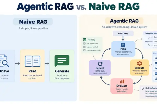
Beyond Naive Retrieval: How Agentic RAG is Resolving the Enterprise AI Hallucination Problem

October 17, 2026 Evan Lee Salim
Large language models have fundamentally transformed text generation, but they continue to grapple with a well-documented and persistent vulnerability: hallucinations.…
GIS and Spatial Technology

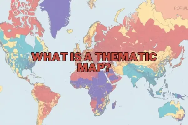
The Power of Thematic Mapping: Visualizing Spatial Data to Drive Insight and Decision-Making

October 16, 2026 Raul Delapena Setiawan
In the expanding landscape of data visualization and geographical analysis, maps serve as far more than navigational aids for travelling…
OpenStreetMap and Community Mapping

OpenStreetMap Local Chapters and Communities Working Group Launches 2026 Microgrants Program to Support Grassroots Initiatives

October 16, 2026 Laily UPN
The OpenStreetMap Local Chapters and Communities Working Group has announced the launch of the 2026 Community Microgrants program, an initiative…
Location Intelligence and Spatial Analytics

Precisely Unveils Unified Platform and AI Studio to Solve Enterprise Data Readiness Challenges

October 16, 2026 Iffa Jayyana
In a strategic push to redefine how global enterprises approach enterprise technology, Precisely has introduced a comprehensive suite of solutions…
Drone Mapping and Aerial Photography

Senator Cites Classified Security Findings in Defense of DJI and Autel Restrictions

October 16, 2026 Siti Muinah
New Federal Communications Commission filings have brought fresh attention to the complex battle over foreign-manufactured unmanned aerial systems, highlighting specific…
Geography and Earth Science

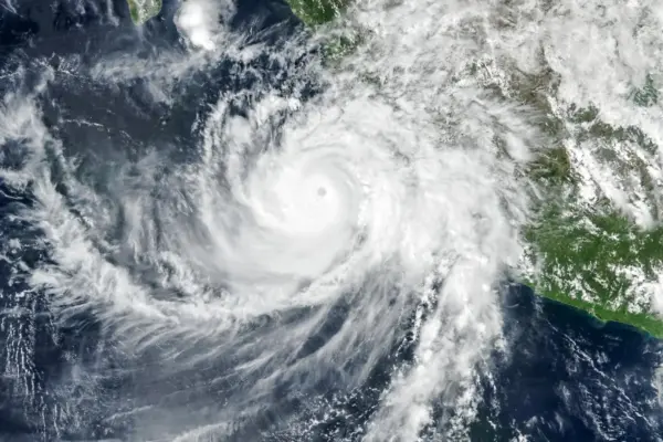
NASA Satellites Capture Rare Atmospheric Waves as Hurricane Simon Batters Mexico’s Pacific Coast

October 16, 2026 Nila Kartika Wati
Despite remaining offshore, Hurricane Simon delivered a severe meteorological blow to Mexico’s Pacific coast, unleashing powerful winds, torrential rainfall, and…
Urban Planning and Smart Cities

S-Line Rail Project Advances to Relieve Congestion and Expand Passenger Service Between North Carolina and Virginia

October 16, 2026 Lina Irawan
A major infrastructure initiative aimed at transforming passenger rail travel in the American Southeast is pressing forward, promising to reshape…
Geopolitics and Map News

The New Axis of Upheaval: How Russia, China, Iran, and North Korea Are Outmaneuvering the U.S. Network

October 16, 2026 Jia Lissa
On July 17, an Iranian missile struck the Muwaffaq Salti Air Base in Jordan, leaving three American soldiers dead and…

Posts navigation

Older posts
Newer posts

Recent Posts

  • GeoHound Tool Launches as Chrome Extension to Instantly Detect, Analyze, and Process Web Map Data
  • From ERP Systems to AI Strategy: Inside Aakansha Bhalotia’s 13-Year Tech Journey at Precisely
  • Elistair Unveils Tethered Air Module for the Parrot ANAFI UKR to Enable Extended ISR Missions
  • A 178-Year-Old Train Delay Solves a Major Mystery in the History of Space Weather and Solar Storms
  • Urban Parking Costs and Curb Management Drive Traffic and Transportation Planning Challenges, New Report Shows

Recent Comments

No comments to show.

Archives

  • October 2026
  • September 2026
  • August 2026

Categories

  • Data Visualization and Infographics
  • Disaster Response and Humanitarian Mapping
  • Drone Mapping and Aerial Photography
  • Environmental and Climate Mapping
  • Geography and Earth Science
  • Geolocation and Cybersecurity
  • Geopolitics and Map News
  • GIS and Spatial Technology
  • Location Intelligence and Spatial Analytics
  • Open Data and Civic Tech
  • Open Source Geospatial Software
  • OpenStreetMap and Community Mapping
  • Remote Sensing and Satellite Imagery
  • Transportation and Mobility Tech
  • Travel Hacking and Digital Nomad
  • Urban Planning and Smart Cities
  • Web Mapping and Cartography

© 2026 Hack The Map. All rights reserved.

Theme: The Original by Rifan Muazin.