Skip to content
Breaking News
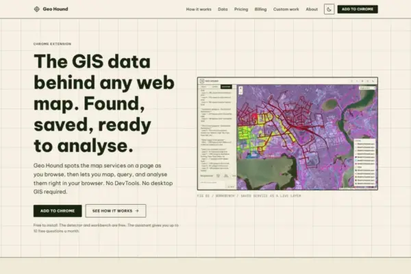
  • GeoHound Tool Launches as Chrome Extension to Instantly Detect, Analyze, and Process Web Map Data
  • From ERP Systems to AI Strategy: Inside Aakansha Bhalotia’s 13-Year Tech Journey at Precisely
  • Elistair Unveils Tethered Air Module for the Parrot ANAFI UKR to Enable Extended ISR Missions
Thursday, October 22, 2026
Edition: U.S. International Login

Hack The Map

Month: October 2026

Environmental and Climate Mapping

More Than Half of UN Countries Submit Nature Pledges Ahead of COP17 Summit

October 17, 2026 Muslim
Nearly three years after a landmark global agreement was struck to halt and reverse the destruction of the natural world,…
Geolocation and Cybersecurity

UK Issues Sweeping Economic Sanctions Against Cryptomus, Targeting Key Financial Conduit for Russian Cybercrime

October 17, 2026 Ammar Sabilarrohman
The United Kingdom has levied economic sanctions against Cryptomus, a chameleonic cryptocurrency platform that blockchain intelligence experts and international investigators…
Open Source Geospatial Software

GeoServer Issues Urgent Security Update After August Zero-Day Disclosure and Outlines New AI Vulnerability Policy

October 17, 2026 Siti Muinah
The open-source geospatial community has faced a demanding summer of security maintenance, culminating in an urgent call for administrators to…
Transportation and Mobility Tech

Comprehensive New Market Review Identifies Top Mobility Devices and Essential Selection Criteria for Wheelchair Buyers

October 17, 2026 Reynand Wu
Wheelchairs remain one of the most widely utilized forms of medical equipment globally, serving as an indispensable lifeline for individuals…
Data Visualization and Infographics

Transforming Complex Workforce Data: How to Clear the Clutter and Drive Executive Decision-Making

October 17, 2026 Layla Zulfa
When an expected staffing shortfall looms on the horizon, bringing the issue to leadership’s attention is a critical first step…
Data Visualization and Infographics

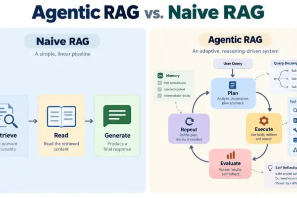
Moving Beyond Naive Retrieval: How Agentic RAG Is Reshaping Enterprise AI Architecture

October 17, 2026 Iffa Jayyana
Large language models have established themselves as remarkable text generators, yet they continue to grapple with a well-documented vulnerability: the…
GIS and Spatial Technology

Understanding Thematic Maps: How Spatial Data Visualization Transforms Complex Patterns into Actionable Insights

October 17, 2026 Siti Muinah
In contemporary data visualization and geographic analysis, maps have evolved far beyond basic instruments used merely for navigation. While traditional…

Web Mapping and Cartography

GeoHound Chrome Extension Enables Direct Discovery and Processing of Web Map Data Layers in the Browser

October 17, 2026 Nana
A new browser extension named GeoHound aims to streamline how spatial data is discovered, inspected, and processed across the web…
OpenStreetMap and Community Mapping

OpenStreetMap Working Group Launches 2026 Community Microgrants to Support Grassroots Mapping Projects Worldwide

October 17, 2026 Nila Kartika Wati
The Local Chapters and Communities Working Group of the OpenStreetMap Foundation has unveiled a new microgrant program designed to provide…
Location Intelligence and Spatial Analytics

Precisely Unveils Unified Platform and AI Studio to Solve Enterprise Data Readiness Challenges

October 17, 2026 Basiran
As artificial intelligence shifts from a visionary novelty to a core operational engine for global enterprises, data integrity has transitioned…

Posts navigation

Older posts
Newer posts

Recent Posts

  • GeoHound Tool Launches as Chrome Extension to Instantly Detect, Analyze, and Process Web Map Data
  • From ERP Systems to AI Strategy: Inside Aakansha Bhalotia’s 13-Year Tech Journey at Precisely
  • Elistair Unveils Tethered Air Module for the Parrot ANAFI UKR to Enable Extended ISR Missions
  • A 178-Year-Old Train Delay Solves a Major Mystery in the History of Space Weather and Solar Storms
  • Urban Parking Costs and Curb Management Drive Traffic and Transportation Planning Challenges, New Report Shows

Recent Comments

No comments to show.

Archives

  • October 2026
  • September 2026
  • August 2026

Categories

  • Data Visualization and Infographics
  • Disaster Response and Humanitarian Mapping
  • Drone Mapping and Aerial Photography
  • Environmental and Climate Mapping
  • Geography and Earth Science
  • Geolocation and Cybersecurity
  • Geopolitics and Map News
  • GIS and Spatial Technology
  • Location Intelligence and Spatial Analytics
  • Open Data and Civic Tech
  • Open Source Geospatial Software
  • OpenStreetMap and Community Mapping
  • Remote Sensing and Satellite Imagery
  • Transportation and Mobility Tech
  • Travel Hacking and Digital Nomad
  • Urban Planning and Smart Cities
  • Web Mapping and Cartography

© 2026 Hack The Map. All rights reserved.

Theme: The Original by Rifan Muazin.