Skip to content
Breaking News
  • Understanding Thematic Maps: How Spatial Data Visualization Transforms Complex Information into Actionable Insights
  • GeoHound Chrome Extension Launched by MapScaping Creator Daniel O’Donohue to Automate Web Map Data Extraction and In-Browser Spatial Analysis
  • From ERP Systems to AI Strategy: Inside Aakansha Bhalotia’s 13-Year Tech Journey at Precisely
Saturday, October 24, 2026
Edition: U.S. International Login

Hack The Map

Month: September 2026

Geolocation and Cybersecurity

Microsoft Plugs Nearly 1,000 Security Holes – Krebs on Security

September 27, 2026 Nana
According to Microsoft and industry analysts, artificial intelligence is playing an increasingly prominent role in speeding up the discovery of…
Open Source Geospatial Software

GeoServer 2.28.5 Released with Critical Security Updates and Maintenance Fixes

September 27, 2026 Reynand Wu
The GeoServer development team has officially announced the immediate availability of GeoServer 2.28.5, the latest maintenance release in the 2.28…
Transportation and Mobility Tech

Comprehensive Review Identifies Top-Rated Walkers and Rollators to Support Senior Mobility and Independence

September 27, 2026 Lina Irawan
For senior citizens and elderly individuals experiencing mobility or balance challenges due to aging and associated health complications, standard walkers…
Data Visualization and Infographics

Finding Your Focus: What 100 Episodes of the Storytelling with Data Podcast Teach Us About Professional Growth

September 27, 2026 Ammar Sabilarrohman
Communicating effectively with data is a multifaceted discipline, requiring a delicate balance of analytical precision and narrative clarity. Professionals striving…
Web Mapping and Cartography

Navigating UTM Coordinate Conversions: Resolving the Hidden Complexity of Spatial Data Alignment

September 27, 2026 Nana Muazin
To anyone reviewing raw geographic data, Universal Transverse Mercator (UTM) coordinates present a reassuring picture of mathematical precision. A string…
OpenStreetMap and Community Mapping

OpenStreetMap Foundation Opens Door to EU Research Partnerships, Urging Consortia to Support Living Digital Commons

September 27, 2026 Nana
The OpenStreetMap Foundation has formally signaled its willingness to participate in European Union-funded research and innovation initiatives, inviting academic, institutional,…
Remote Sensing and Satellite Imagery

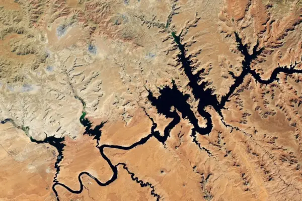
Lake Powell Plunges to Record Lows as Western Snow Drought Deepens U.S. Water Crisis

September 27, 2026 Nila Kartika Wati
The compounding effects of a severe winter snow drought and persistently high temperatures across the Upper Colorado Basin have pushed…
Drone Mapping and Aerial Photography

House Committee Advances Bill Requiring Drone Operators to Acknowledge Safety Rules Before First Flight

September 27, 2026 Ammar Sabilarrohman
The United States House Transportation and Infrastructure Committee has advanced a legislative proposal designed to tackle a persistent challenge in…
Geography and Earth Science

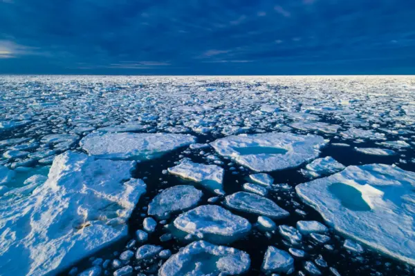
How Bumping Ice Floes Solve a Long-Standing Arctic Sea Ice Mystery

September 27, 2026 Lina Irawan
Arctic sea ice has long presented a puzzling contradiction to the scientists who study it. While standard meteorological models rely…
Geopolitics and Map News

The Era of Attrition: Why Modern Conflicts Grind On Without Resolution

September 27, 2026 Basiran
Attrition has re-emerged as the defining feature of contemporary armed conflict. Across deeply polarized global flashpoints—most notably in Ukraine and…

Posts navigation

Older posts
Newer posts

Recent Posts

  • Understanding Thematic Maps: How Spatial Data Visualization Transforms Complex Information into Actionable Insights
  • GeoHound Chrome Extension Launched by MapScaping Creator Daniel O’Donohue to Automate Web Map Data Extraction and In-Browser Spatial Analysis
  • From ERP Systems to AI Strategy: Inside Aakansha Bhalotia’s 13-Year Tech Journey at Precisely
  • FAA Releases Draft Design Standards for Vertiports and Vertical Flight Facilities to Support Advanced Air Mobility
  • Awakening Giants: Scientists Discover Fresh Magma Recharging Japan’s Catastrophic Kikai Caldera

Recent Comments

No comments to show.

Archives

  • October 2026
  • September 2026
  • August 2026

Categories

  • Data Visualization and Infographics
  • Disaster Response and Humanitarian Mapping
  • Drone Mapping and Aerial Photography
  • Environmental and Climate Mapping
  • Geography and Earth Science
  • Geolocation and Cybersecurity
  • Geopolitics and Map News
  • GIS and Spatial Technology
  • Location Intelligence and Spatial Analytics
  • Open Data and Civic Tech
  • Open Source Geospatial Software
  • OpenStreetMap and Community Mapping
  • Remote Sensing and Satellite Imagery
  • Transportation and Mobility Tech
  • Travel Hacking and Digital Nomad
  • Urban Planning and Smart Cities
  • Web Mapping and Cartography

© 2026 Hack The Map. All rights reserved.

Theme: The Original by Rifan Muazin.