Skip to content
Breaking News
  • Visualizing Spatial Intelligence: The Growing Role and Impact of Thematic Mapping in Modern Data Science
  • GeoHound Chrome Extension Automates Web Map Layer Detection and In-Browser GIS Processing
  • Navigating Strategy, AI, and High Agency: Inside Aakansha Bhalotia’s 13-Year Tech Journey
Saturday, October 24, 2026
Edition: U.S. International Login

Hack The Map

Month: August 2026

Environmental and Climate Mapping

China’s CO2 Emissions Fall in Second Quarter of 2026 as Strait of Eastern Hormuz Crisis Slashes Oil Consumption

August 4, 2026 Reynand Wu
China’s carbon dioxide (CO2) emissions fell by 1% in the second quarter of 2026, driven primarily by a sharp drop…
Open Source Geospatial Software

GeoServer 2.28.5 Released with Essential Security Updates and Maintenance Fixes

August 4, 2026 Nana Muazin
The GeoServer development team has officially announced the immediate availability of GeoServer 2.28.5, the latest maintenance release designed to provide…
Disaster Response and Humanitarian Mapping

Solar-Powered Boreholes and FAO Support Bring Resilience to Farmers in Chad’s Lac Province

August 3, 2026 Evan Lee Salim
By Shariqa Habib For a long time, the simple act of securing water was a financial hurdle that Abakar Mahamat…
Disaster Response and Humanitarian Mapping

Global Humanitarian Leaders Push for Final $11 Billion and Critical Access as 2026 Enters Final Quarter

August 3, 2026 Nana Wu
UNITED NATIONS, NEW YORK — As the international humanitarian community enters the final quarter of 2026, the United Nations and…
Disaster Response and Humanitarian Mapping

Inside the Ebola Treatment Center: A Frontline Account from the Democratic Republic of the Congo

August 3, 2026 Jia Lissa
By Priscilla Lecomte Bunia, Democratic Republic of the Congo — Today I met Celestine. Well, I didn’t really meet Celestine.…
Transportation and Mobility Tech

Comprehensive Guide to Selecting the Best Walkers and Rollators for Seniors and Elderly Mobility

August 3, 2026 Layla Zulfa
For senior citizens and elderly individuals dealing with balance or mobility challenges stemming from aging and its associated medical complications,…
Disaster Response and Humanitarian Mapping

Inside the Ebola Treatment Center: A Human Perspective on the Crisis in the Democratic Republic of the Congo

August 2, 2026 Nila Kartika Wati
BUNIA, Democratic Republic of the Congo — For Priscilla Lecomte, a Public Information Officer with the United Nations Office for…
Data Visualization and Infographics

Leveraging AI to Prototype and Choose Effective Data Visualizations in Workplace Analytics

August 2, 2026 Neng Nana
Selecting the right visual for a dataset is rarely a direct path from an initial concept to a finished chart.…
Data Visualization and Infographics

Navigating the Uncomfortable Truth: How Data Storytellers Address Unexpected Findings and Audience Expectations

August 2, 2026 Sagoh
During a recent virtual public workshop hosted by the analytics and communication community, a participant raised a compelling and universally…
Data Visualization and Infographics

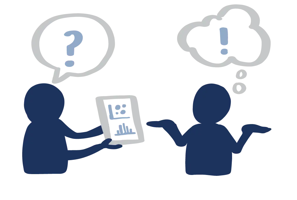
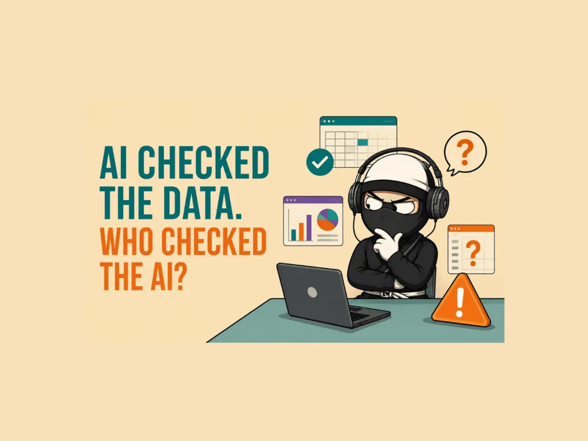
The Hidden Traps of AI Data Analysis: What Happens When Large Language Models Misinterpret Reality

August 1, 2026 rifanmuazin
Artificial intelligence tools have rapidly become indispensable co-pilots for corporate data teams, promising to slash the time required to wrangle…

Posts navigation

Older posts
Newer posts

Recent Posts

  • Visualizing Spatial Intelligence: The Growing Role and Impact of Thematic Mapping in Modern Data Science
  • GeoHound Chrome Extension Automates Web Map Layer Detection and In-Browser GIS Processing
  • Navigating Strategy, AI, and High Agency: Inside Aakansha Bhalotia’s 13-Year Tech Journey
  • FAA Releases Draft Design Standards for Vertiports and Vertical Flight Facilities
  • Japan’s Ancient Kikai Caldera is Quietly Refilling with Fresh Magma, Raising New Clues for Supervolcano Research

Recent Comments

No comments to show.

Archives

  • October 2026
  • September 2026
  • August 2026

Categories

  • Data Visualization and Infographics
  • Disaster Response and Humanitarian Mapping
  • Drone Mapping and Aerial Photography
  • Environmental and Climate Mapping
  • Geography and Earth Science
  • Geolocation and Cybersecurity
  • Geopolitics and Map News
  • GIS and Spatial Technology
  • Location Intelligence and Spatial Analytics
  • Open Data and Civic Tech
  • Open Source Geospatial Software
  • OpenStreetMap and Community Mapping
  • Remote Sensing and Satellite Imagery
  • Transportation and Mobility Tech
  • Travel Hacking and Digital Nomad
  • Urban Planning and Smart Cities
  • Web Mapping and Cartography

© 2026 Hack The Map. All rights reserved.

Theme: The Original by Rifan Muazin.