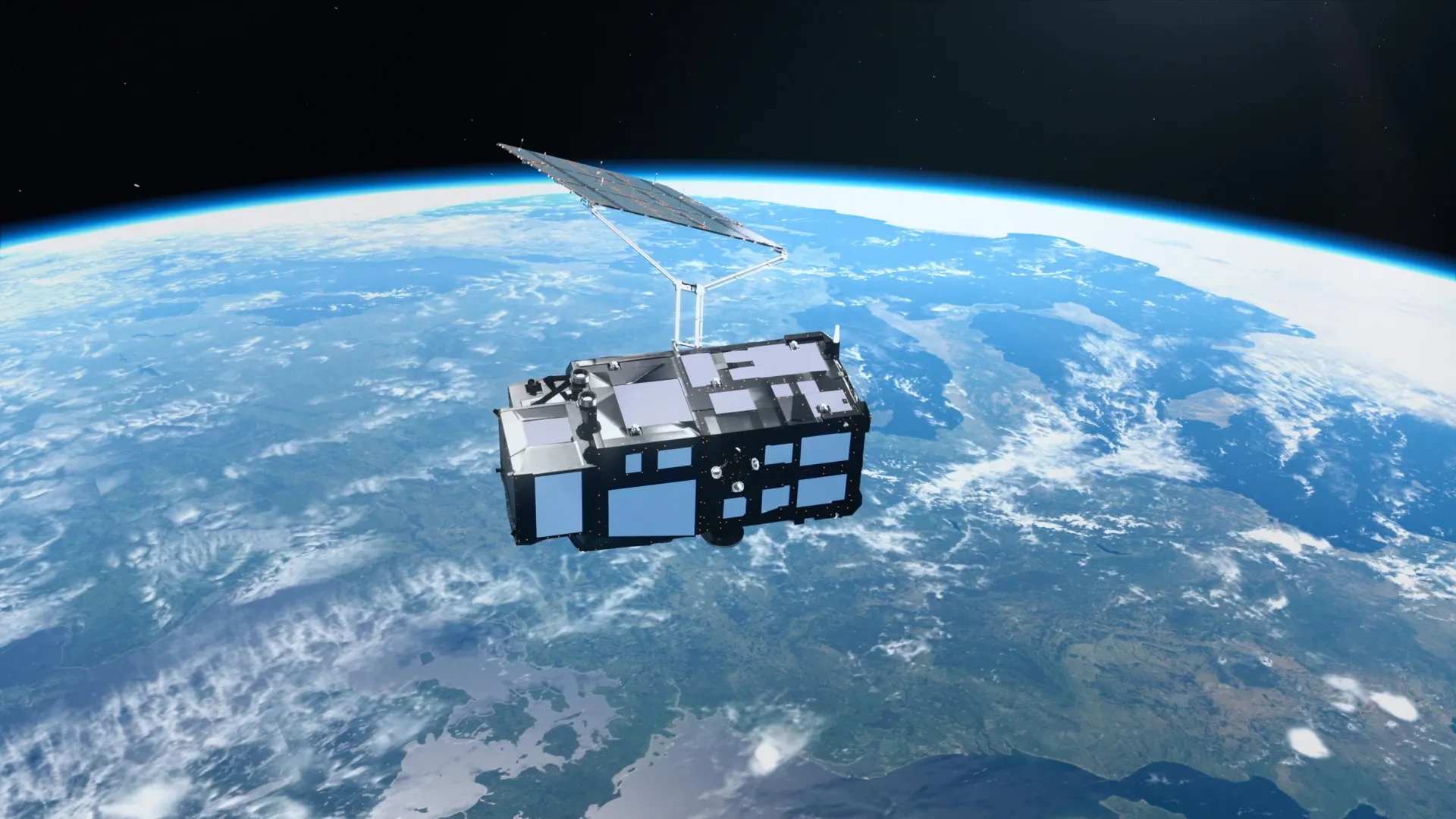
Just two weeks after successfully reaching orbit, Europe’s newest Earth-observing spacecraft, the Copernicus Sentinel-3C satellite, has delivered its first breathtaking images of our planet. The initial visual transmissions capture a wide array of diverse geography, ranging from the snow-capped peaks of the Alps and the frozen expanse of the Arctic to the brilliant, luminous turquoise waters of the Caribbean Sea.
However, the satellite is performing a far more critical function than simply taking picturesque photographs of the globe. Alongside its optical imaging capabilities, its onboard instruments have already begun precisely measuring ocean surface heights and tracking the elevation of Greenland’s massive ice sheet. This early performance provides a promising preliminary demonstration of advanced space technology expressly designed to monitor Earth’s rapidly changing climate in real time.
The initial images and scientific measurements originate from two of Sentinel-3C’s primary instruments. Agency officials note that both systems are performing exceptionally well during their initial checkout phases, bringing the spacecraft significantly closer to achieving its overarching mission of tracking vital environmental changes across the globe.
A Powerful New Satellite to Monitor Earth’s Changing Climate
Sentinel-3C represents the third spacecraft in Europe’s established Sentinel-3 satellite series, serving as a cornerstone of the broader Copernicus Earth observation program. These specialized satellites are equipped with matching suites of instruments that continuously gather comprehensive data regarding the world’s oceans, landmasses, atmosphere, and cryosphere—the scientific term encompassing Earth’s frozen regions.
When observing the global oceans, Sentinel-3 measures key variables such as sea surface temperature, ocean color, sea surface height, and the thickness of floating sea ice. These continuous observations give researchers the vital data required to investigate marine pollution, track dangerous marine heatwaves, and understand complex shifts in ocean conditions brought on by broader environmental pressures.
Over terrestrial landscapes, the mission yields crucial information concerning droughts, active wildfires, vegetation health, and shifting patterns of land use. Furthermore, the satellite actively measures fluctuating water levels in inland rivers and lakes, alongside tracking ongoing changes in the elevation of polar ice sheets.
The extensive data streams directly support daily weather forecasting by providing timely, accurate observations of current environmental conditions. Concurrently, they offer climate researchers the longitudinal data necessary to identify and analyze long-term trends linked directly to global climate change.
The European Space Agency (ESA) is currently preparing Sentinel-3C for full routine operations through a rigorous, detailed testing and commissioning process expected to span another five months. Nevertheless, the satellite’s initial fortnight in orbit has already yielded remarkably encouraging scientific results.
Stunning Satellite Images Reveal Italy’s Diverse Landscape
Among the very first images captured by Sentinel-3C on September 30 by its advanced ocean and land color instrument is a striking, natural-color view of Italy and its surrounding waters.
The sprawling image extends from southern Germany across the entire Italian peninsula down to Sicily and the southern Mediterranean Sea. It reveals an extraordinary variety of terrain, transitioning seamlessly from towering, rugged mountain ranges and fertile agricultural farmlands to deep blue marine environments.
Near the upper center of the frame, the Po Valley stands out prominently as a broad expanse of green and brown. This highly fertile region serves as the primary engine of Italy’s agricultural output. Directly to the north, the snow-capped Alps rise dramatically above the lowlands, their brilliant white peaks creating a sharp, striking contrast with the darker terrain below.
Across the rest of the Italian landscape, varied shades of green and brown vividly depict regional differences in vegetation density, ongoing farming activities, and changing land cover.
To the east, the Adriatic Sea separates the Italian mainland from the partially visible Balkan Peninsula. Along the eastern coast of Italy, distinct bands of lighter blue water stand out sharply against the deeper blue of the open sea. Scientists deduce that these sharp color variations are likely caused by sediments swept into the marine environment by rivers and subsequently redistributed by complex coastal currents.
On the opposite side of the peninsula, the dark waters of the Tyrrhenian Sea surround the islands of Sardinia and Sicily. The island of Corsica is also captured within the frame, although thick cloud cover obscures much of its terrain.
Together, the starkly contrasting colors of mountains, agricultural heartlands, islands, and surrounding seas create a vivid, comprehensive portrait of Italy as viewed from space.
A Dramatic View of the Arctic’s Vulnerable Ice
A second high-resolution image captured on September 30 shifts the satellite’s perspective far to the north, focusing on the Canadian Arctic Archipelago situated just west of Greenland.
In this frame, the landscape looks radically different from the sun-drenched Mediterranean. Snow and ice blanket the vast majority of the islands, while exposed rock, rugged coastlines, and deep fjords weave intricate patterns across the frozen northern geography.
The image was acquired near the time of year when Arctic sea ice typically reaches its annual minimum extent. Much of the surrounding water appears dark and open, though scattered fragments of floating sea ice remain visible drifting across the frame.
These precise observations carry heightened importance because the Arctic is currently warming at a rate significantly faster than the global average.
As regional temperatures continue to climb, glaciers and ice sheets are steadily losing mass, while sea ice continues its long-term retreat. The disappearance of highly reflective ice exposes darker underlying ocean water, which absorbs a greater amount of solar energy and subsequently accelerates local warming trends.
Sentinel-3’s diverse array of instruments observes these vanishing ice structures in complementary ways, helping scientists build a more complete understanding of ongoing changes across these highly vulnerable polar environments.
Brilliant Caribbean Waters Seen From Space
Sentinel-3C’s third featured image, captured on September 29, showcases an entirely different facet of Earth’s varied geography.
The scene captures a portion of the Caribbean, featuring Cuba positioned near the bottom of the frame and the Bahamas stretching toward the top. Surrounding the island chains, shallow coastal waters glow in brilliant, luminous shades of turquoise, contrasting sharply with the deep navy blue of the open ocean beyond the shelves.
These dramatic color shifts assist researchers in mapping variations in water depth and analyzing the underlying characteristics of the marine habitat.
Beyond its aesthetic appeal, the Caribbean image serves as a stark reminder of the mounting physical challenges facing low-lying island nations and coastal communities as global sea levels continue their steady upward climb.
One of Sentinel-3C’s most vital instruments—its synthetic aperture radar altimeter—is engineered specifically to measure the height of the ocean surface with extreme precision. By tracking how sea surface height changes incrementally over time, scientists can refine models of sea-level rise and better support global efforts to prepare for its long-term societal consequences.
New Measurements Show the Satellite Is Performing Well
Beyond capturing striking photographs, Sentinel-3C has already demonstrated an immediate capability to gather precise scientific measurements.
Its radar altimeter has successfully collected sea surface height data spanning the Atlantic Ocean and the Mediterranean Sea. Researchers subsequently compared these fresh observations with the Copernicus Marine Service’s multi-mission sea-level anomaly data, which aggregate measurements drawn from multiple orbiting satellites.
The early comparative results show strong agreement with existing measurements, confirming that the new altimeter is operating precisely as expected.
Once Sentinel-3C officially completes its commissioning phase, it will contribute actively to global sea-level monitoring alongside established satellite missions such as Copernicus Sentinel-6 and the Jason series.
These long-running observations remain fundamentally essential for understanding the exact pace at which the world’s oceans are rising. Thanks to decades of precise satellite tracking, scientists have calculated that global sea levels have risen by an average of 3.64 millimeters per year since 1999. Furthermore, the rate of sea-level rise has continued to accelerate, making uninterrupted, high-precision monitoring increasingly imperative.
Sentinel-3C’s advanced altimeter will provide much more than ocean-centric measurements. It will also track changing water levels in rivers and lakes, along with monitoring fluctuations in sea ice and land ice, perfectly complementing future data streams from the upcoming Copernicus CRISTAL mission.
Tracking Greenland’s Massive Ice Sheet From Orbit
Some of the most encouraging early results returned by Sentinel-3C originate from the massive ice sheet of Greenland.
Between September 30 and October 4, the satellite successfully collected high-resolution measurements of the surface elevation of the Greenland Ice Sheet. An accompanying mission animation illustrates the distinct tracks of these observations crisscrossing the vast, frozen landscape.
When scientists compared these fresh measurements against a reference digital elevation model—a detailed representation of the ice sheet’s established surface topography—the satellite’s new observations matched the existing baseline data closely.
This tight alignment offers further empirical proof that the radar altimeter is functioning with optimal accuracy.
Accurately tracking ice sheet elevation is increasingly crucial as the planet continues to warm. Both Greenland and Antarctica hold vast reservoirs of frozen water, and shifts in their immense ice sheets carry profound consequences for global sea-level rise.
Ice loss from these polar regions already stands as a major driver of rising global oceans. By repeatedly measuring the precise height of these surfaces from space, satellites enable scientists to monitor ongoing volume changes over time and drastically improve predictions of future sea-level escalation.
What’s Next for Europe’s New Earth-Watching Satellite?
Although Sentinel-3C remains in its preliminary testing phase, these first observations mark a vital milestone toward full scientific operation.
The satellite’s ocean and land color instrument has successfully delivered detailed imagery of diverse landscapes and dynamic coastlines, while its radar altimeter has generated highly encouraging measurements of both ocean and ice sheet elevations.
Another major mission milestone is approaching rapidly. The spacecraft is currently preparing to release the first observational data from its sea and land surface temperature radiometer—an instrument specifically engineered to measure the precise thermal temperature of Earth’s land and ocean surfaces.
Sentinel-3C operates as an integral part of Copernicus, the Earth observation component of the European Union’s broader Space Program. The European Space Agency holds primary responsibility for developing and deploying the Sentinel-3 satellites and managing them through the initial commissioning phase.
Following the completion of commissioning, ESA and the European Organisation for the Exploitation of Meteorological Satellites (Eumetsat) will jointly manage the long-term Sentinel-3 mission.
Eumetsat will handle routine daily satellite operations and supply crucial marine and atmospheric observations, while ESA will continue providing data covering landmasses, the cryosphere, inland waterways, and post-processed atmospheric products.
Together, these two organizations ensure that Sentinel-3 observations remain widely accessible to operational Copernicus services and scientific users around the world.
With its initial images and early measurements already demonstrating exceptional performance, Sentinel-3C is well on its way to becoming an indispensable tool for observing Earth’s dynamic oceans, changing landscapes, melting ice sheets, and complex atmosphere as the planet continues to transform.