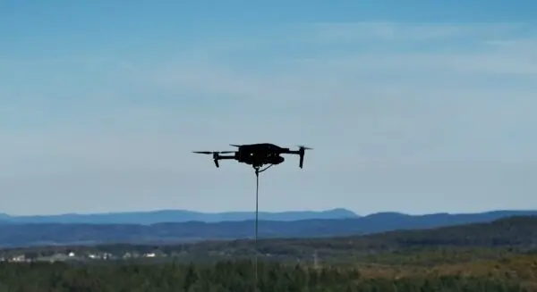
Drone-in-a-box technology is rapidly shifting from experimental aviation to standard industry practice, playing a critical role in construction monitoring and site safety enhancement on the massive HumeLink West transmission project in Australia.
Skyports Drone Services, an established leader in unmanned aviation, is utilizing automated beyond visual line of sight (BVLOS) drone operations to monitor active construction along Australia’s HumeLink West electricity transmission corridor. This advanced deployment enables project teams to collect high-resolution aerial survey data across vast and challenging terrains without the traditional necessity of deploying on-site drone pilots directly into the field.
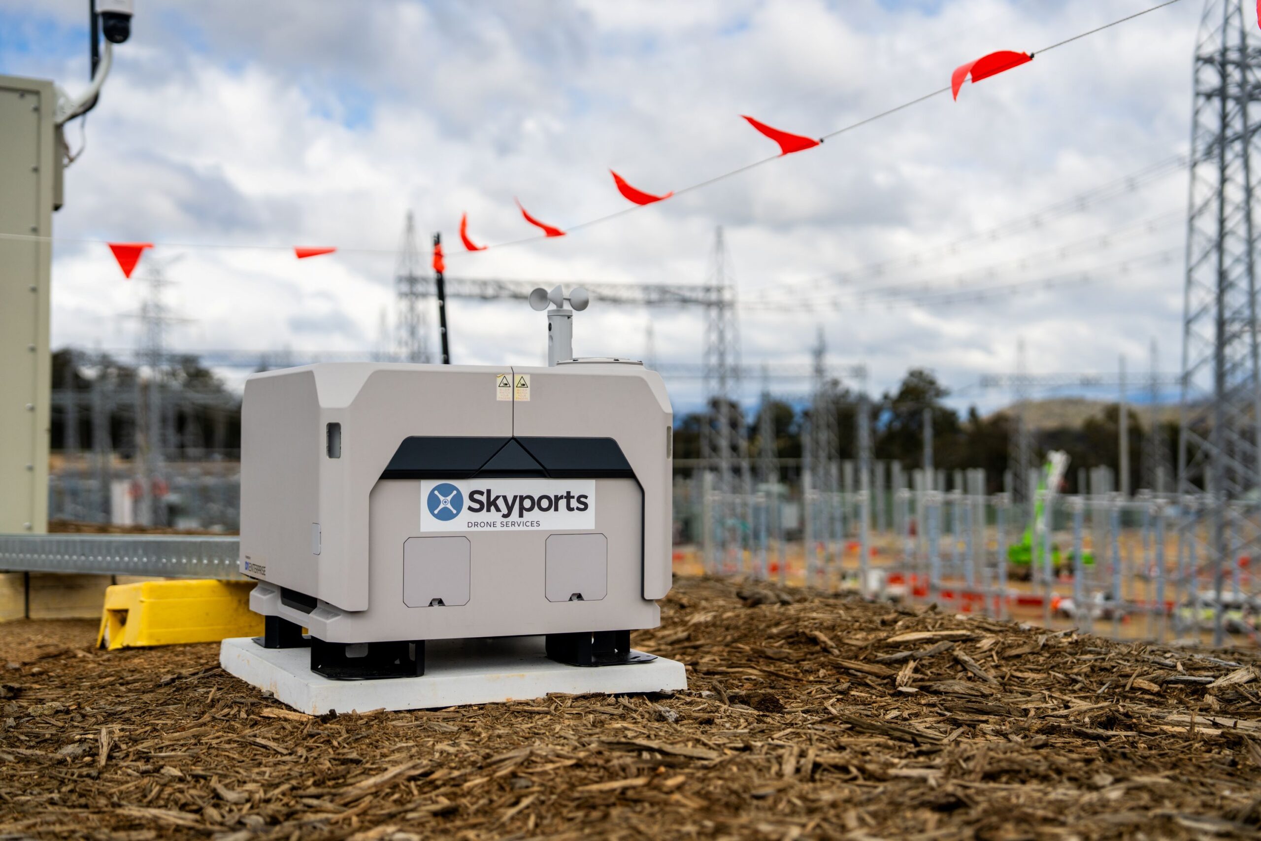
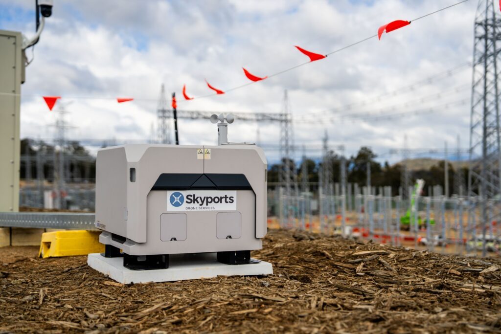
The ongoing operation relies on a permanently installed DJI Dock 2 situated at the Maragle substation construction site in New South Wales. This automated housing unit conducts scheduled survey flights every two weeks, executing precise flight paths entirely autonomously. Notably, Skyports operates the complex system remotely from its dedicated Remote Operations Centre situated in Lane Cove, Sydney, which is more than 350 kilometers away from the physical work site.
HumeLink West forms an integral component of Transgrid’s broader HumeLink infrastructure initiative. The overarching project is designed to substantially strengthen Australia’s national electricity network, enhance grid reliability, and support the integration of large-scale renewable energy sources into the power supply. According to project details provided by Skyports, HumeLink West encompasses approximately 140 kilometers of new 500kV double-circuit transmission lines alongside the construction and development of two major substations.
BVLOS Operations Expand Survey Coverage and Site Access
The integration of automated BVLOS technology represents a dramatic leap forward in operational efficiency compared to traditional surveying methodologies. According to data released by Skyports, the remotely operated drone system can survey up to five times more area in a single working day than traditional on-site manual drone surveys could achieve.
The authorization to conduct flights beyond visual line of sight is a primary driver of this efficiency. BVLOS approval permits mission radii extending approximately 8 to 10 kilometers from the docking station. This stands in stark contrast to the conventional 0.5 to 1 kilometer operational range typically associated with standard visual line of sight (VLOS) operations, where the pilot must maintain direct unaided visual contact with the aircraft at all times.
Beyond raw speed and geographic coverage, these remote flight capabilities yield significant safety dividends. By utilizing automated drones, project managers can drastically reduce the need for human personnel to physically enter difficult terrain, dense vegetation corridors, or hazardous active construction areas where heavy machinery and high-voltage hazards are present.
This current automated phase builds directly upon a foundational 12-month extended visual line of sight (EVLOS) surveying program. During that initial preparatory phase, Skyports deployed LiDAR-equipped drones to accurately map complex terrain, model topography, and monitor vegetation clearing activities along the designated transmission corridor, laying the groundwork for the fully automated infrastructure seen today.
Regulatory Approval Supports Remote Operations
The successful execution of these flights relies heavily on progressive aviation frameworks. Skyports conducts the operations under a Broad Area BVLOS Drone Approval granted by Australia’s Civil Aviation Safety Authority (CASA).
According to the company, this specialized regulatory authorization empowers Skyports to self-authorize qualifying BVLOS missions within eligible remote and sparsely populated geographic regions. This self-authorization mechanism cuts through traditional administrative bottlenecks, significantly reducing deployment times and allowing infrastructure projects to adapt rapidly to changing site conditions.
Skyports notes that it remains part of an exclusive group of commercial operators in Australia holding this advanced regulatory clearance. Furthermore, the HumeLink West project stands out as the very first CIMIC Group project in Australia to be officially authorized for fully remote BVLOS drone operations.
Looking ahead, Skyports anticipates that its global footprint of automated drone-in-a-box networks will expand rapidly. The company projects its network to reach 25 active systems by the end of 2026, with plans to more than double that total capacity throughout 2027.
Alex Brown, CEO of Skyports Drone Services, emphasized the broader implications of the deployment. "HumeLink West demonstrates how advanced drone operations are transforming the way major Australian infrastructure projects are delivered," Brown said. "As one of only a small number of operators in Australia authorised to conduct these types of BVLOS drone operations, we’re providing customers with a more intelligent, safer and cost effective way of monitoring the construction of some of the country’s most important infrastructure projects."
Turning Drone Surveys into Construction Data
Capturing high-resolution aerial imagery is only the first step in the modern digital construction workflow. Once the DJI Dock 2 completes a scheduled flight and stores the captured data, Skyports processes the incoming survey information through DroneDeploy, an advanced reality capture platform capable of generating accurate 2D maps and 3D site models.
These detailed digital twins allow civil engineering and construction teams to conduct temporal analysis, comparing physical site conditions over time, closely monitoring daily construction progress, and quickly identifying subtle anomalies or engineering issues that require immediate professional attention.
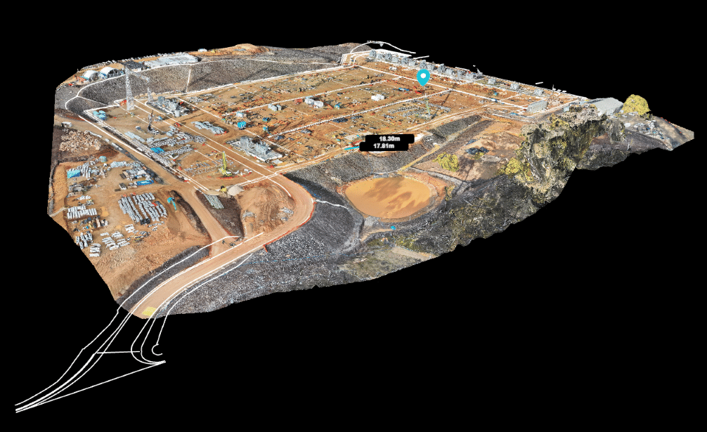
Tim Burns, Project Director of HumeLink West, highlighted the practical value of the data pipeline for day-to-day management. "On a project of this scale, you need reliable, up-to-date information that helps you make decisions with confidence," Burns stated. "Skyports’ remote drone surveys are giving our construction teams a clear, consistent picture of what’s happening across the site, allowing us to track progress more effectively, respond to issues sooner and keep work moving. Just as importantly, being able to capture that data remotely means fewer people are working in active construction areas, helping improve safety."
The HumeLink West deployment serves as a clear benchmark for how automated BVLOS operations can streamline routine infrastructure surveys across vast geographic expanses. It also highlights how modern regulatory frameworks are successfully evolving to support the broader commercial adoption of remotely operated unmanned aerial systems in major civil engineering projects.