Skip to content
Breaking News
  • GeoHound Tool Launches as Chrome Extension to Instantly Detect, Analyze, and Process Web Map Data
  • From ERP Systems to AI Strategy: Inside Aakansha Bhalotia’s 13-Year Tech Journey at Precisely
  • Elistair Unveils Tethered Air Module for the Parrot ANAFI UKR to Enable Extended ISR Missions
Thursday, October 22, 2026
Edition: U.S. International Login

Hack The Map

Author: Asep Darmawan

Geopolitics and Map News

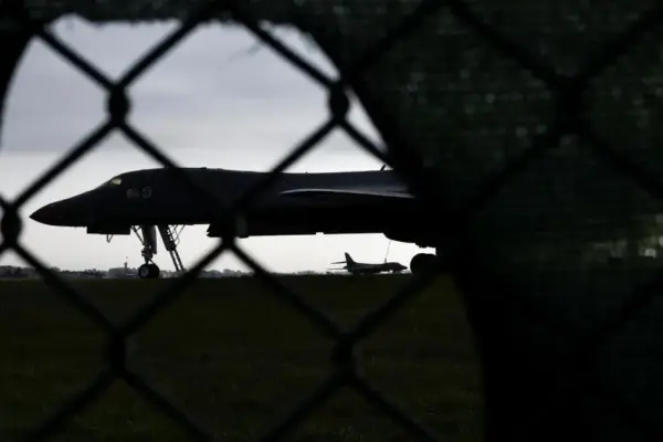
Why Airpower Alone Fails to Break Iran: The Limits of Modern Military Strategy

October 13, 2026 Asep Darmawan
For months, Iran’s remarkable resilience in its ongoing war against two of the world’s most capable militaries has perplexed foreign…

Open Source Geospatial Software

GeoServer Issues Urgent Security Update After August Zero-Day Disclosure and Outlines New AI Vulnerability Policies

October 13, 2026 Asep Darmawan
As the open-source community reflects on the security landscape of the summer of 2026, the GeoServer project has issued a…
Location Intelligence and Spatial Analytics

The Data Readiness Gap: Why Enterprise AI Initiatives Are Stalling in Production

October 13, 2026 Asep Darmawan
In the rapidly evolving landscape of enterprise technology, artificial intelligence has transitioned from a conceptual ambition to an active operational…
Geography and Earth Science

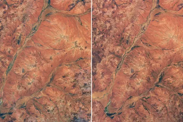
Rare Desert Bloom Transforms Western Australia’s Outback Into a Vibrant Tapestry

October 13, 2026 Asep Darmawan
A spectacular and unexpected explosion of wildflowers has transformed the normally dry, rust-colored landscape of Western Australia into a vibrant…
Travel Hacking and Digital Nomad

Marriott Bonvoy Introduces Real-Time Upgrade Tracking and Unveils Expanded Lounge Experiences Across Asia

October 13, 2026 Asep Darmawan
Following its annual Member Day announcements, Marriott International has revealed two major upcoming enhancements tailored for its loyal customer base.…
Drone Mapping and Aerial Photography

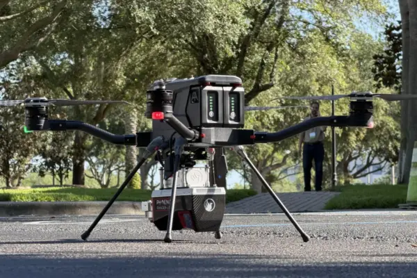
Small Drone Manufacturer Finds Its Market Niche: The Harris Aerial Story

October 12, 2026 Asep Darmawan
By DRONELife Features Editor Jim Magill In the fast-paced world of technology and commercial enterprise, getting in on the ground…
Geography and Earth Science

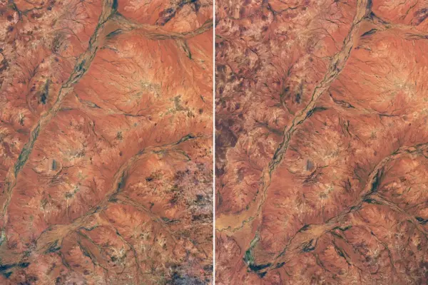
Outback Awakening: Rare Wildflower Superbloom Transforms Western Australia’s Arid Landscape

October 12, 2026 Asep Darmawan
A spectacular and unexpected explosion of wildflowers has transformed the normally dry, rust-colored landscape of Western Australia into a vibrant,…
Geopolitics and Map News

The Fracturing of North America: How Washington’s Assault on Neighbors Threatens U.S. Global Power

October 11, 2026 Asep Darmawan
The foundational architecture of United States global power is facing an unprecedented internal challenge, driven not by distant geopolitical rivals,…
Travel Hacking and Digital Nomad

Understanding Financial Partnerships and Editorial Independence in Credit Card Reviews

October 10, 2026 Asep Darmawan
In the modern digital financial landscape, consumers navigating the vast array of available credit cards often rely on online reviews,…
Drone Mapping and Aerial Photography

FAA Updates Part 107 Drone Pilot Test: New Image-Based Questions to Debut This October

October 10, 2026 Asep Darmawan
The Federal Aviation Administration is introducing significant updates to its widely recognized Part 107 remote pilot knowledge test, shifting how…

Posts navigation

Older posts
Newer posts

Recent Posts

  • GeoHound Tool Launches as Chrome Extension to Instantly Detect, Analyze, and Process Web Map Data
  • From ERP Systems to AI Strategy: Inside Aakansha Bhalotia’s 13-Year Tech Journey at Precisely
  • Elistair Unveils Tethered Air Module for the Parrot ANAFI UKR to Enable Extended ISR Missions
  • A 178-Year-Old Train Delay Solves a Major Mystery in the History of Space Weather and Solar Storms
  • Urban Parking Costs and Curb Management Drive Traffic and Transportation Planning Challenges, New Report Shows

Recent Comments

No comments to show.

Archives

  • October 2026
  • September 2026
  • August 2026

Categories

  • Data Visualization and Infographics
  • Disaster Response and Humanitarian Mapping
  • Drone Mapping and Aerial Photography
  • Environmental and Climate Mapping
  • Geography and Earth Science
  • Geolocation and Cybersecurity
  • Geopolitics and Map News
  • GIS and Spatial Technology
  • Location Intelligence and Spatial Analytics
  • Open Data and Civic Tech
  • Open Source Geospatial Software
  • OpenStreetMap and Community Mapping
  • Remote Sensing and Satellite Imagery
  • Transportation and Mobility Tech
  • Travel Hacking and Digital Nomad
  • Urban Planning and Smart Cities
  • Web Mapping and Cartography

© 2026 Hack The Map. All rights reserved.

Theme: The Original by Rifan Muazin.