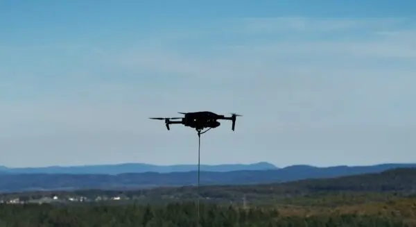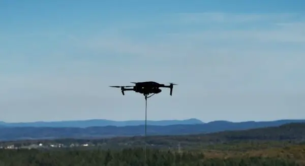
Drone-in-the-box technology is rapidly changing the landscape of modern construction monitoring and site safety, a transformation currently on full display across Australia. Skyports Drone Services has deployed automated beyond visual line of sight (BVLOS) drone operations to monitor construction on Transgrid’s HumeLink West electricity transmission project. This advanced deployment allows engineering and management teams to collect comprehensive aerial survey data continuously without needing to dispatch physical drone pilots or large survey crews directly to hazardous or remote project locations.
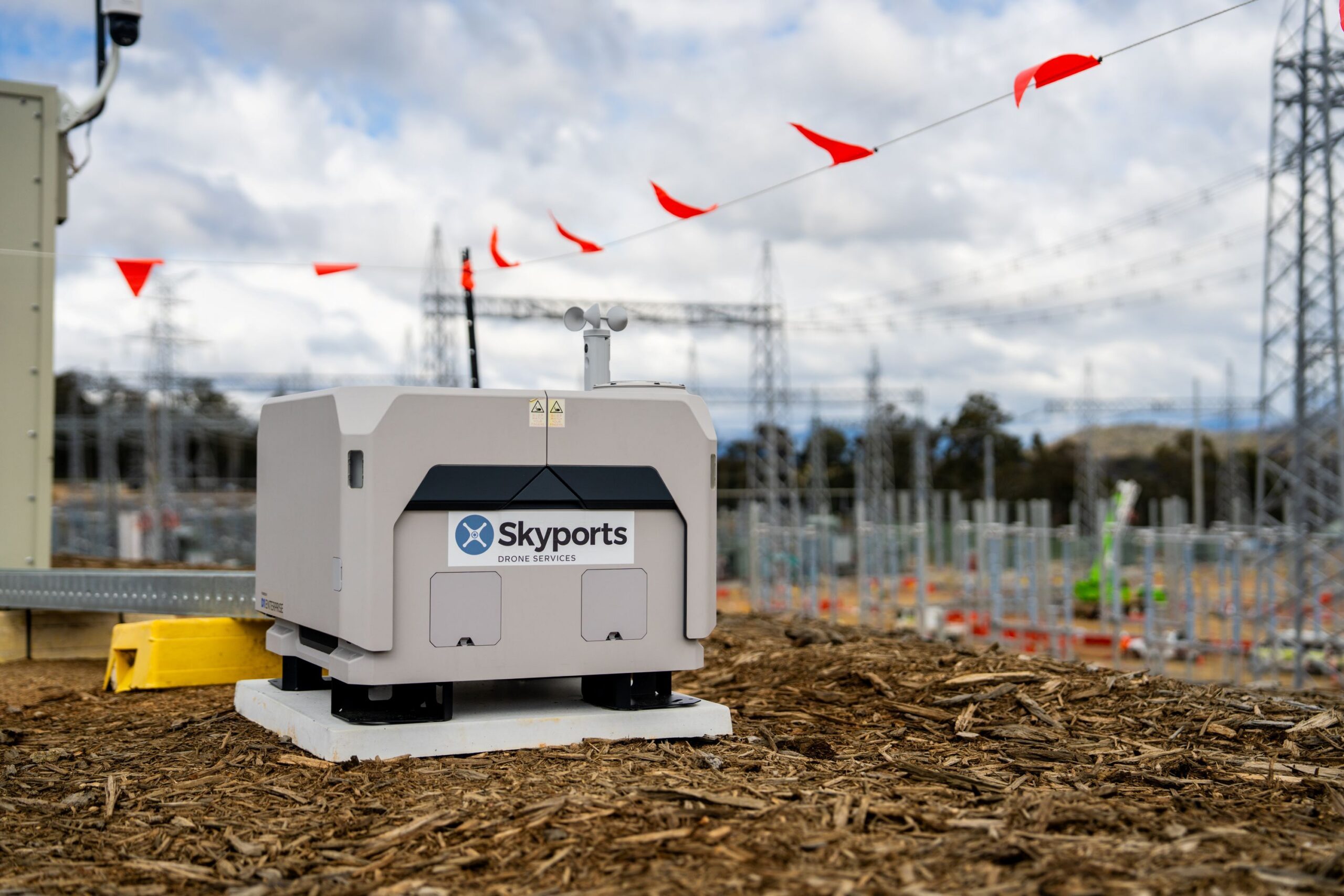
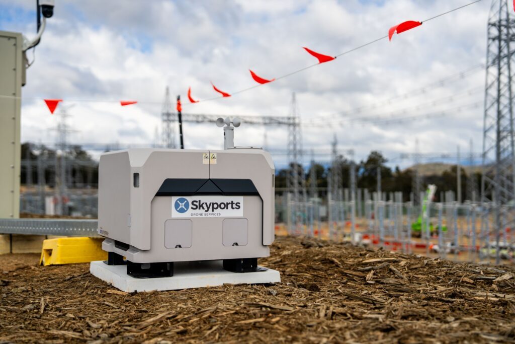
At the heart of the deployment is a permanently installed DJI Dock 2 located at the Maragle substation construction site in New South Wales. This automated housing and launch pad conducts scheduled surveys every two weeks, requiring zero local human intervention for takeoff, landing, or recharging. Instead, Skyports operates the entire system remotely from its dedicated Remote Operations Centre situated in Lane Cove, Sydney, more than 350 kilometers away from the active construction zone.
HumeLink West forms a crucial component of Transgrid’s larger HumeLink initiative, a massive undertaking designed to strengthen Australia’s national electricity network and dramatically support the integration of renewable energy sources into the grid. According to project details shared by Skyports, the HumeLink West phase encompasses approximately 140 kilometers of new 500kV double-circuit transmission lines alongside the construction and expansion of two major substations. Managing a linear construction project of this magnitude across rugged Australian terrain presents significant logistical hurdles, making automated aerial intelligence an invaluable asset for project stakeholders.
BVLOS Operations Dramatically Expand Survey Coverage
The shift from conventional methods to remotely operated BVLOS flights yields massive gains in operational efficiency. According to data provided by Skyports, the remotely operated drone can survey up to five times more area in a single day compared to traditional on-site drone survey missions.
This expansive reach is made possible by regulatory authorizations that permit missions extending approximately 8 to 10 kilometers from the dock. In stark contrast, conventional visual line of sight (VLOS) operations typically restrict drone pilots to a range of just 0.5 to 1 kilometer, severely limiting the speed and geographic scope of daily data collection. By extending the operational radius, a single automated system can cover vast sections of the transmission corridor that would otherwise require hours of driving and setup by field crews.
Beyond sheer efficiency, remote flights drastically reduce the need for personnel to enter difficult, rugged terrain or active, high-risk construction areas. This minimizes exposure to workplace hazards, heavy machinery movement, and environmental risks.
The current automated deployment builds directly upon a rigorous 12-month extended visual line of sight (EVLOS) surveying program carried out previously by Skyports on the same corridor. During that foundational phase, the company utilized LiDAR-equipped drones to meticulously map complex topography, record baseline environmental conditions, and monitor extensive vegetation clearing along the proposed transmission line path.
Regulatory Approval Supports Remote Operations
Skyports conducts these sophisticated flights under a Broad Area BVLOS Drone Approval granted by Australia’s Civil Aviation Safety Authority (CASA). This key regulatory green light empowers the company to self-authorize qualifying BVLOS missions in eligible remote and sparsely populated regions, effectively cutting down deployment times and eliminating bureaucratic bottlenecks for routine flights.
Company representatives note that Skyports stands among a very small group of commercial operators in Australia currently holding this high level of regulatory authorization. Furthermore, the HumeLink West project marks a significant corporate milestone, serving as the first CIMIC Group project in the country to be authorized for fully remote BVLOS drone operations. Looking ahead, Skyports anticipates aggressive growth, projecting that its global drone-in-a-box network will expand to 25 active systems by the end of 2026 before more than doubling throughout 2027.
Alex Brown, CEO of Skyports Drone Services, emphasized the broader implications of the deployment for the national engineering sector. He noted that HumeLink West demonstrates how advanced autonomous drone operations are actively transforming the delivery of major Australian infrastructure. By operating as one of the few authorized entities for these complex BVLOS missions, Skyports aims to provide industrial customers with a smarter, safer, and more cost-effective methodology for overseeing critical national developments.
Turning Drone Surveys into Construction Data
Collecting raw aerial imagery and spatial data is only the first step in the workflow. Skyports processes all survey captures through DroneDeploy, an advanced reality capture platform that automatically translates raw sensor inputs into highly accurate 2D maps and 3D digital site models.
These digital twins give construction managers the ability to conduct temporal comparisons, evaluating site conditions over time to verify construction milestones, monitor earthworks, and quickly flag anomalies or structural issues that demand engineering attention.
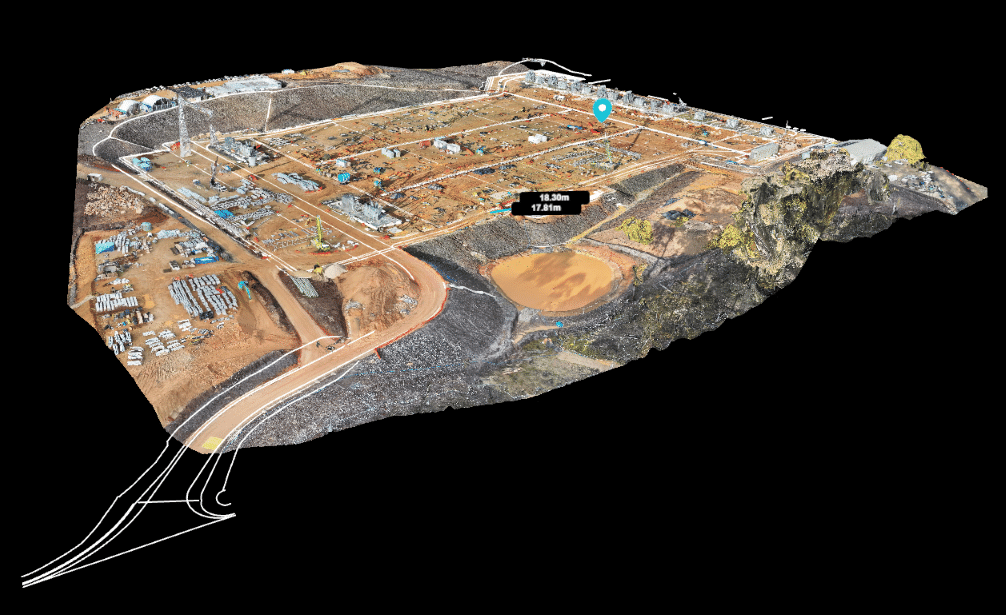
Tim Burns, Project Director of HumeLink West, highlighted the critical value of this continuous data stream for daily decision-making. On a project of this immense scale, management requires reliable, up-to-date information to proceed with confidence. Burns explained that the remote drone surveys furnish construction teams with a clear, consistent picture of unfolding site conditions across the entire corridor. This visibility empowers teams to track physical progress more effectively, respond to emerging challenges before they escalate, and maintain project momentum. He added that gathering this intelligence remotely keeps human workers out of active construction zones, directly advancing project safety goals.
Ultimately, the HumeLink West deployment serves as a compelling proof of concept for how automated BVLOS operations can modernize routine infrastructure surveying. As regulatory frameworks evolve to accommodate wider commercial use, projects of this caliber point toward a future where automated remote sensing becomes a standard baseline for major civil engineering works worldwide.