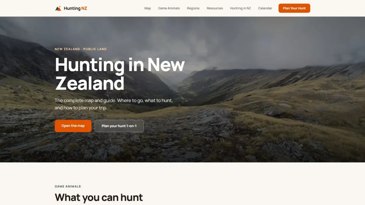
Navigating the vast and rugged backcountry of New Zealand presents a dual challenge for outdoor enthusiasts and hunters: determining precise legal boundaries on public land and understanding the practical realities of the terrain, infrastructure, and wildlife species present on the ground. A comprehensive digital mapping platform, Hunting NZ, has been developed to address both questions within a single, unified geospatial interface. By synthesizing complex public geographic datasets, the web-based interactive map offers detailed spatial insights into public conservation areas, designated hunting blocks, backcountry access tracks, operational huts, active pest-control operations, and game species distributions across the country.
The underlying challenge of mapping New Zealand’s wilderness stems from the complex tapestry of land tenure and environmental management. Public conservation land is expansive, yet legal access, hunting permits, and specific land-use designations vary significantly across regions. Outdoor users often face the task of cross-referencing multiple separate databases to confirm whether a specific valley or ridge is open for legal hunting, what permits are required, how to access it legally without trespassing on private property, and what conditions to expect upon arrival. The Hunting NZ platform consolidates these disparate streams of geographic information, allowing users to query land status and environmental conditions seamlessly in one location.
At the core of the platform is an advanced cartographic engine capable of displaying data through multiple visualization modes. Users can toggle between traditional topographic maps, high-resolution aerial imagery, hillshade relief rendering, and fully immersive three-dimensional terrain models. Each viewing mode provides unique utility for evaluating remote environments. The topographic view highlights elevation contours, official tracks, named geographical features, and managed boundaries. Aerial photography offers critical visual context regarding vegetation cover, bush lines, clearings, and river systems. Meanwhile, hillshade and 3D terrain capabilities allow users to evaluate the steepness, slope orientation, and physical contouring of remote mountain ranges before ever setting foot in the field.
Beyond basic geographic base maps, the platform integrates critical operational and ecological layers essential for field safety and planning. One key feature is the inclusion of active pest-control operations. In New Zealand’s public conservation estate, pest-management initiatives—including trapping networks and aerial operations—are routinely conducted to protect native biodiversity. Displaying these management zones directly on the map provides vital situational awareness for individuals planning trips, particularly those navigating backcountry blocks with hunting dogs or seeking to avoid active management areas.
Infrastructure mapping forms another essential component of the digital interface. By incorporating public tracks and backcountry huts directly onto the spatial display, the map allows users to assess logistical routes and shelter options alongside legal land boundaries. Identifying the precise location of Department of Conservation huts and marked walking tracks in relation to specific hunting block boundaries enables more efficient trip planning and helps ensure that recreational activities remain within permitted zones.
The ecological mapping capabilities of the platform focus heavily on wildlife distribution across both the North and South Islands. The interactive interface maps the geographic range of key game animals, allowing users to cross-reference species presence with terrain types and public land boundaries. The platform incorporates spatial data for major game species, including red deer, Himalayan tahr, chamois, sika deer, and wapiti, alongside other established game animals. By overlaying species distribution data onto topographic and terrain layers, users can analyze potential habitats, altitude preferences, and geographic boundaries specific to each animal.
To ensure regulatory precision and spatial accuracy, the platform is built upon official open data provided by key government bodies. The primary data sources include Land Information New Zealand, the Department of Conservation, and the Walking Access Commission, known as Herenga Ā Nuku. Land Information New Zealand provides foundational geographic datasets, topographic information, and official property and boundary framework data. The Department of Conservation contributes authoritative boundaries for the public conservation estate, designated hunting blocks, track networks, hut locations, pest-control operational zones, and wildlife monitoring information. The Walking Access Commission provides crucial information regarding legal public access paths, unformed legal roads, and public entry points across the landscape.
By integrating these authoritative sources, the platform eliminates the need for manual cross-referencing across separate official portals. The alignment of land tenure boundaries from land management authorities with access rights data from the Walking Access Commission ensures that users have a clear visual representation of where public land begins and ends, reducing the risk of accidental boundary breaches or property disputes.
In addition to its central interactive mapping capabilities, the platform provides a wide array of educational and logistical resources designed to complement the spatial tool. These resources include detailed guides dedicated to every major game animal species found in New Zealand. The guides outline the distinct biology, habitat preferences, and regional presence of species such as red deer, tahr, chamois, sika, and wapiti. Complementing the individual species profiles are region-by-region breakdowns that detail the unique geographic characteristics, land management structures, and hunting conditions found throughout different districts of the country.
To assist with timing and legal compliance, the platform incorporates a dedicated hunting calendar alongside regulatory and licensing information. The calendar provides guidance on seasonal considerations, roar and rut periods, and regional management restrictions, while the licensing resources outline the necessary permits and legal requirements mandated by governing authorities for hunting on public conservation land.
The platform was created by Daniel O’Donohue, a geospatial specialist and the voice behind The MapScaping Podcast, an established audio publication focused on the geospatial and GIS community. Drawing on a professional background in spatial analysis and geographic information systems, O’Donohue developed the project to demonstrate the practical application of spatial technology in solving complex, real-world information challenges. By systematically combining multiple layers of open spatial data into an intuitive web interface, the project illustrates how modern GIS methodology can make complex environmental and administrative data accessible and useful to the public.