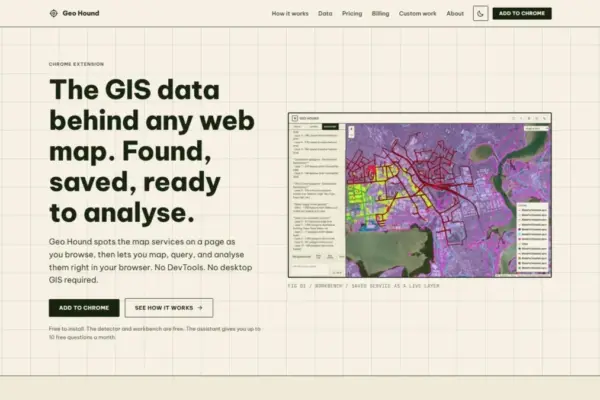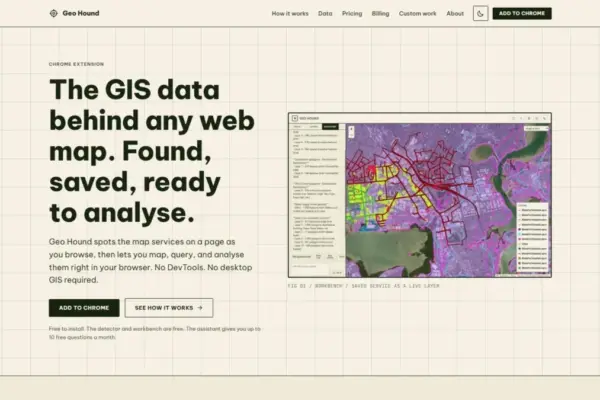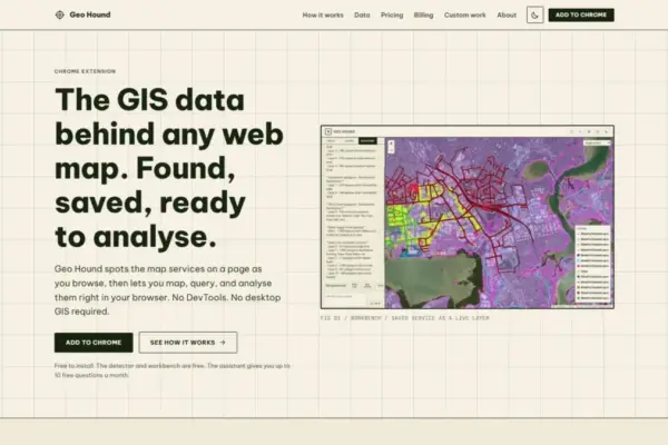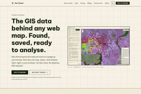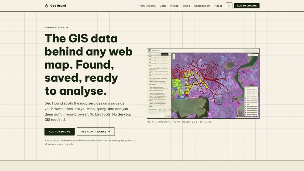
A new software tool designed to streamline web-based spatial data discovery and analysis has been introduced with the launch of GeoHound, a specialized extension for the Google Chrome web browser. Developed by geospatial specialist and podcast creator Daniel O’Donohue, the tool is engineered to automatically detect the underlying geographic data services powering web maps across the internet as users navigate standard web pages. Rather than requiring analysts to manually inspect network traffic or copy complex endpoint URLs into external software, GeoHound captures spatial feeds in real time, parses their accompanying metadata, and provides an integrated workbench for conducting spatial analysis directly inside the web browser.
For geographic information system (GIS) specialists, spatial analysts, cartographers, and urban planners, interacting with modern web maps has historically involved a notable amount of operational friction. Contemporary web mapping applications frequently display rich layers of geographic information—ranging from municipal property boundary parcels and environmental zoning limits to real-time transportation networks and infrastructure vectors—without offering clear download links or transparent access to the underlying raw data feeds. Uncovering the origin and raw endpoints of these web map layers traditionally required spatial professionals to engage in what industry practitioners describe as "DevTools spelunking."
This manual process requires opening a web browser’s developer tools panel, navigating through dense network activity logs, filtering requests by complex query parameters, and attempting to isolate direct server endpoints for Web Map Services, Web Feature Services, or RESTful API queries. Once identified, these endpoints typically had to be copied out of the browser and manually imported into desktop GIS software packages, such as QGIS or Esri’s ArcGIS Pro, merely to evaluate feature attributes, verify spatial extents, or inspect layer schema definitions.
GeoHound fundamentally alters this paradigm by moving data service detection and preliminary spatial workflows directly into the browsing environment. As a user navigates any web page containing an embedded interactive map, the extension passively monitors incoming web network connections and automatically identifies active spatial data services running in the background. Upon identifying a spatial stream, GeoHound highlights the discovered layer and saves it along with its native metadata. This gives users immediate visibility into how a web map is constructed, what coordinate reference systems or feature attributes are embedded within it, and where the original host data resides on the web.
The broad technical functionality of the extension encompasses 29 distinct geospatial service and vector data format types. Among these supported protocols are foundational Open Geospatial Consortium (OGC) standards, including Web Map Services (WMS) for rendered map image streams and Web Feature Services (WFS) for direct vector geometry transfer. The extension also detects modern OGC APIs built on contemporary RESTful architectural patterns, as well as proprietary enterprise server endpoints like ArcGIS REST services, which power thousands of national, regional, and municipal public data portals globally. Furthermore, GeoHound identifies various raster and vector tile service templates alongside standalone flat vector feeds such as GeoJSON files.
By supporting 29 individual spatial service types, the extension ensures that users can extract spatial layers from virtually any web mapping application architecture, regardless of whether the host site relies on open-source web mappers like Leaflet, OpenLayers, and Mapbox GL JS, or commercial enterprise frameworks like Esri ArcGIS Online.
Preserving native layer metadata during the detection phase represents a core element of GeoHound’s technical framework. When spatial feeds are captured through automated network monitoring, the extension does not merely capture raw coordinates or visual map tiles; it extracts and retains essential contextual metadata. This metadata includes layer titles, spatial reference identifiers, field definitions, attribute schemas, legend configurations, and service capability statements. Retaining this structural context ensures that users maintain complete data lineage and operational awareness when evaluating datasets, removing the ambiguity traditionally associated with detached spatial feeds extracted manually from raw network headers.
In addition to its detection and metadata capabilities, GeoHound includes a built-in interactive spatial workbench directly within the Google Chrome interface. This workspace enables users to interact with, manipulate, and analyze captured geographic layers without needing to launch an external desktop GIS suite. Within the browser-native workbench, users can perform key vector and attribute operations, such as applying spatial and attribute filters, generating precise buffer zones around point, line, or polygon geometries, executing spatial joins between intersecting layers, and exporting the resulting geographic datasets into standard GIS file formats for downstream use.
The ability to perform spatial filtering, proximity buffering, and relational joins directly within a web browser reflects a wider shift toward lightweight spatial processing. Historically, client-side web browsers served primarily as display targets tasked with displaying raster imagery tiles or rendering lightweight vector graphics. However, modern client-side computing capabilities make it possible to perform vector geometry calculations and spatial processing directly within the browser session. By leveraging these capabilities, GeoHound enables analysts to perform initial feasibility assessments, dataset verifications, and spatial queries immediately upon discovering a data layer, eliminating the setup time and hardware overhead associated with launching desktop GIS applications for basic tasks.
Alongside its manual workbench functionality, GeoHound incorporates an integrated artificial intelligence assistant capable of executing spatial analysis tasks based on plain-English instructions. Users can prompt the AI assistant to perform analytical workflows directly on their saved spatial layers within the workbench. By translating natural language requests into geometric processing operations and attribute queries, the assistant allows both experienced GIS professionals and non-specialist users to run spatial operations without needing to construct manual database queries or navigate complex software toolbars.
The platform has been introduced with an accessible access model. Both the core detection engine—which covers all 29 supported spatial service types—and the interactive browser workbench are provided to users for free, removing economic barriers to basic web map data discovery and lightweight spatial analysis. The plain-English AI assistant operates as an advanced feature within the system, offering automated processing capabilities for users seeking to accelerate multi-step analytical workflows or run complex spatial commands using natural language interface tools.
GeoHound was created by Daniel O’Donohue, an experienced geospatial specialist who is widely known in the spatial technology sector as the creator and voice behind The MapScaping Podcast. Through his work hosting the podcast, O’Donohue has established a dedicated platform focused on spatial technology, open-source cartography, remote sensing, location intelligence, and geographic data infrastructure. Drawing directly from his professional background as a geospatial specialist, O’Donohue developed GeoHound to solve persistent operational pain points around web data discovery, designing the software to help analysts harness the power of spatial data to unravel real-world complexity one layer at a time.
The release of GeoHound comes at a time when the volume of spatial data published across the public web continues to expand, even as access to that data remains fragmented across disparate server architectures, municipal portals, and web map frameworks. Government agencies, scientific research institutions, non-profit organizations, and commercial enterprises deploy thousands of specialized mapping applications every year, but inspecting these endpoints often presents technical hurdles for researchers and analysts who simply need access to raw spatial layers for analysis. By providing automated detection across 29 service types alongside browser-based editing, buffering, joining, and exporting capabilities, GeoHound bridges the gap between web map presentation and practical spatial data utility.
Through its integration of automated multi-protocol detection, metadata extraction, browser-native vector processing, and natural language AI processing, GeoHound offers a streamlined solution for modern spatial data workflows. By removing the technical overhead traditionally required to extract and evaluate web map layers, the extension changes how geospatial professionals, researchers, and mappers discover, interact with, and analyze geographic information across the web.