The open-source geospatial community has officially announced the availability of GeoServer 3.0.2, a stable production-grade release packed with vital security improvements, component updates, and crucial feature integrations. Available immediately for download in binary, WAR, Windows installer, and documentation formats, this latest iteration represents a significant milestone for enterprise users relying on open-source geographic information system infrastructure.
The rollout arrives alongside updated core components, including GeoTools 35.2 and GeoWebCache 2.0.2, as well as refreshed versions of mapfish-print-v2 2.5.2 and ImageN 0.9.3. Notably, this release cycle also marks the first time an updated GeoServer Cloud package—GeoServer Cloud 3.0.2—has been made available precisely on release day, streamlining modern cloud-native deployments for administrators worldwide. The successful launch of this version was a collaborative effort, with acknowledgments extended to Jody Garnett of GeoCat for coordinating the release, Andrea Aime of GeoSolutions for rigorous testing, and Gabriel Roldan of Camptocamp for spearheading the GeoServer Cloud release.
Security Considerations
As production environments face evolving digital threats, GeoServer 3.0.2 addresses critical security vulnerabilities, making it an essential upgrade for system administrators and enterprise operators. To ensure safe planning and deployment, detailed information regarding the specific security fixes will be made publicly available at the beginning of November. Organizations managing mission-critical geospatial web services are encouraged to review the project’s formal security policy on GitHub for comprehensive guidance on how vulnerabilities are handled, patched, and communicated across the open-source ecosystem.

OGC API Maps 1.0

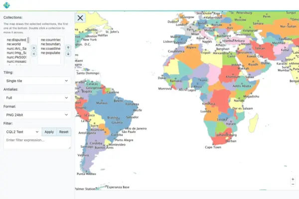
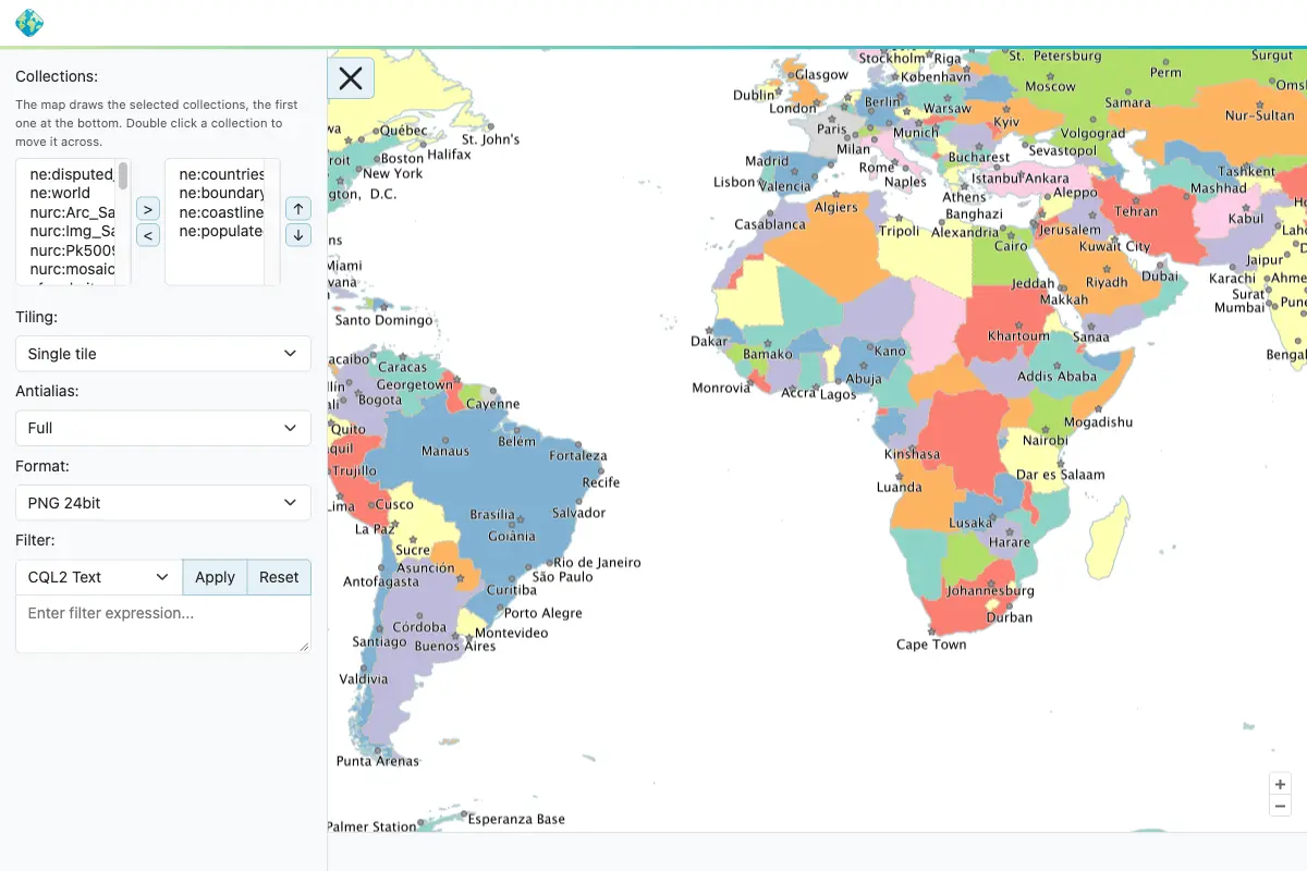
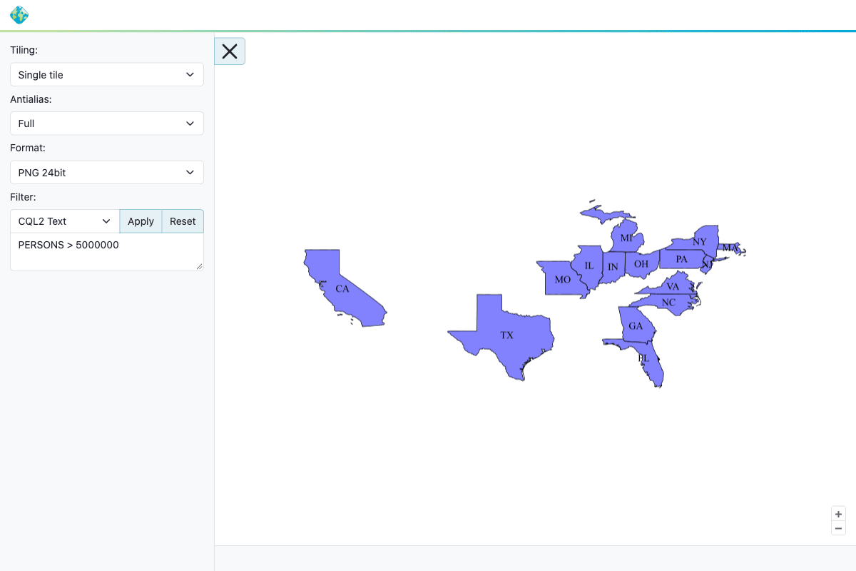
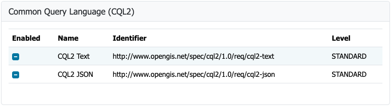
Interoperability remains a cornerstone of the GeoServer platform, and version 3.0.2 takes a major step forward by aligning its OGC API Maps community module with the final OGC API – Maps 1.0.0 standard. This standard governs how map rendering services are accessed over the web using modern RESTful architecture, ensuring that developers can deliver compliant, standardized geospatial data to a wide array of clients and web applications. The successful integration of this standard is the result of dedicated development work by Andrea Aime of GeoSolutions, combined with backporting efforts and enhancements to the conformance table editor provided by Jody Garnett of GeoCat. Users wishing to adopt these standardized mapping services can consult the official user manual for comprehensive implementation details.

GeoFence for GeoServer 3

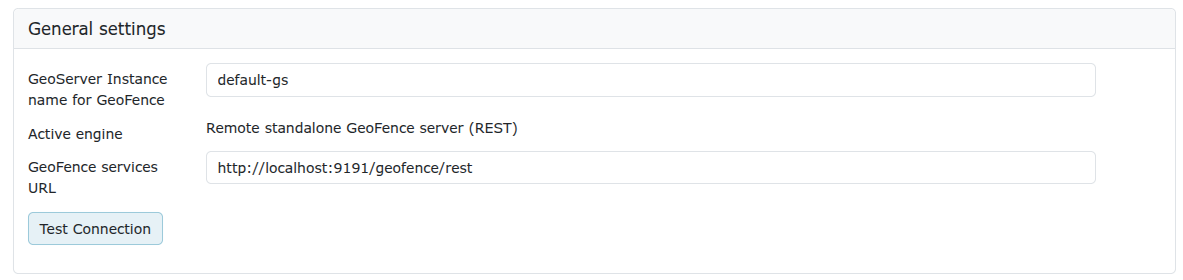
The release of GeoServer 3.0.2 also brings the long-awaited GeoFence extensions to the GeoServer 3 series, marking the successful completion of Milestone 4: Integration under the ambitious GeoServer 3 crowdfunding campaign. GeoFence has undergone a comprehensive architectural modernization, being updated to run on Jakarta EE, Spring Framework 7, and Hibernate 7 to align with contemporary enterprise Java standards.

Because of these deep architectural updates, existing administrators and users transitioning to the new version are strongly advised to consult the official migration guide prior to upgrading. Key changes include the renaming of the datasource configuration file and the complete removal of the legacy GeoFence authentication provider. This milestone was brought to life through the programming expertise of Emanuele Tajariol of GeoSolutions and was made financially and operationally possible by the generous backers of the GeoServer 3 crowdfunding campaign.

The broader GeoServer project continues to thrive thanks to the sustained financial support and institutional backing of numerous organizations and individual donors. Institutional supporters include AfriGIS, Camptocamp, DLR, Dorset Council, Deutsche Telekom, Frachtwerk GmbH, GeoCat BV, Geocrafter Geospatial Studio, Comune di Genova, g.on, GeoSolutions SRL, geosos, Geospatial Enabling Technologies, Incloud Limited, HL Consulting, Institut national de l’information géographique et forestière, ITS Digital, JDev, Kreditanstalt für Wiederaufbau, Mammoth Geospatial, National Ocean Service, Plangis, Office of Public Works, Open Geo Groep, OSGeo:Korea, OSGeo:UK, Quarticle Research Srl, Sea Island Software, Tailormap, terrestris, Ubigu, Value AG, Region Västra Götaland, and WaldExpert. Additionally, the project acknowledges individual financial contributors whose grassroots support sustains ongoing software maintenance and innovation.

FIPS

Addressing the stringent regulatory demands of government agencies and defense contractors, GeoServer 3.0.2 introduces a new FIPS community module. FIPS 140-3 is a United States federal government standard that governs the security requirements for cryptographic modules. Many federal agencies, public sector entities, and their commercial suppliers are legally or contractually mandated to utilize software that relies exclusively on validated cryptographic implementations.

The inclusion of this community module allows organizations operating within highly regulated sectors to deploy GeoServer in compliance with federal mandates. However, administrators must note specific operational constraints: the module currently operates exclusively on Linux environments and requires a freshly initialized data directory, as an automated migration tool for existing directories is not yet available.

Release notes and community development

The comprehensive changelog for version 3.0.2 spans a wide variety of bug fixes, performance improvements, and ongoing task management. Developers and system integrators can examine the full inventory of changes through the official GitHub release notes for version 3.0.2. Furthermore, active development continues across numerous experimental community modules, which are shared openly as source code to foster community-driven innovation and collaborative problem-solving. Interested developers and users exploring these cutting-edge topics are encouraged to reach out directly to module authors to contribute assistance, testing, or feedback.

As part of the ongoing evolution of the platform, the GeoServer 3.0 series continues to build upon the foundational stability established in earlier releases like 3.0.0 and 3.0.1. By combining modern enterprise framework integrations, strict compliance with international geospatial standards, enhanced security protocols, and robust community backing, GeoServer 3.0.2 reinforces its position as a premier spatial data infrastructure solution for organizations across the globe.